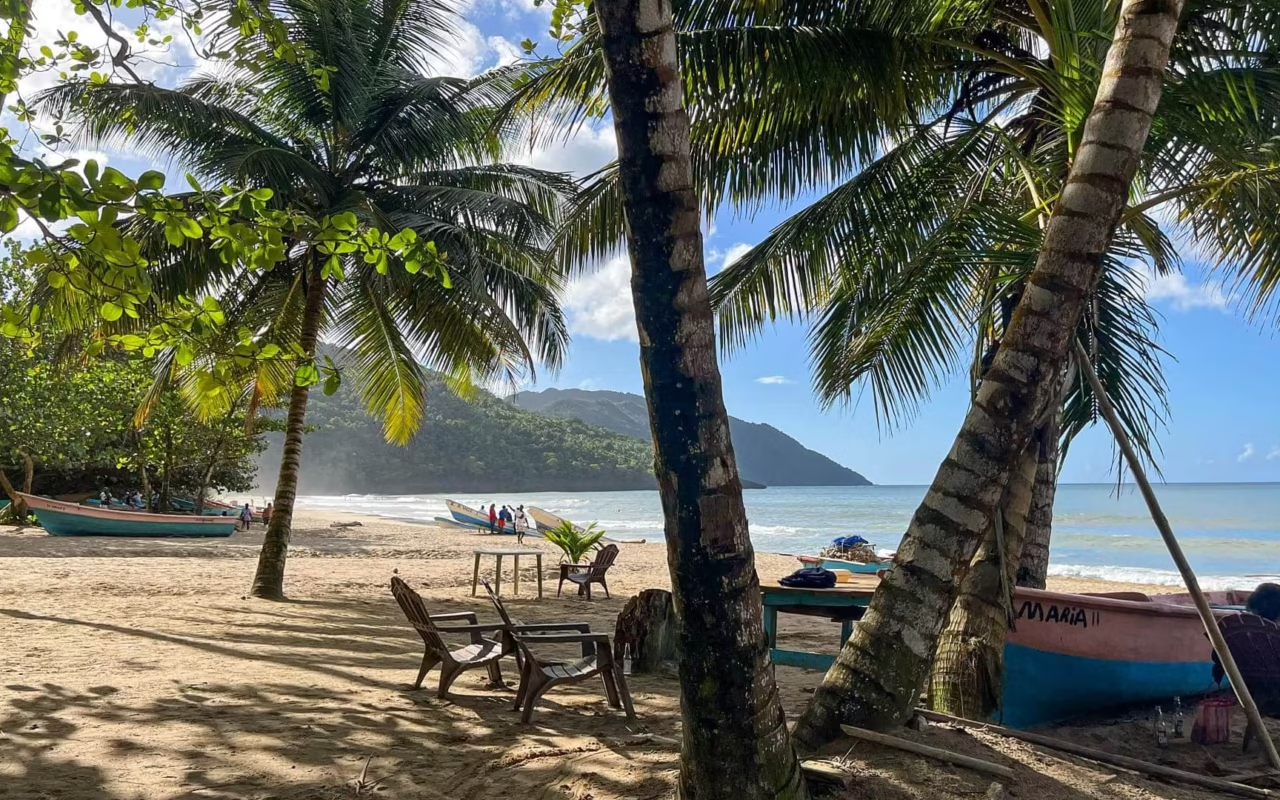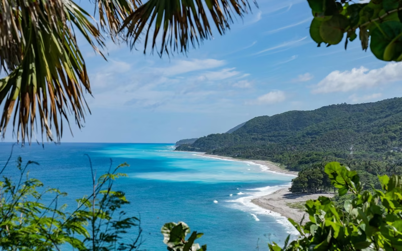
The southwestern part of the Dominican Republic can be explored in 3 to 5 days from Santo Domingo, which is 185 km from Barahona by road. The coastline ends at Bahía de las Águilas, an 8-km stretch of sandy beach without a single building, located in Jaragua National Park. It can be reached in 15 to 20 minutes by boat from La Cueva, after paying a 150-peso entrance fee in cash.
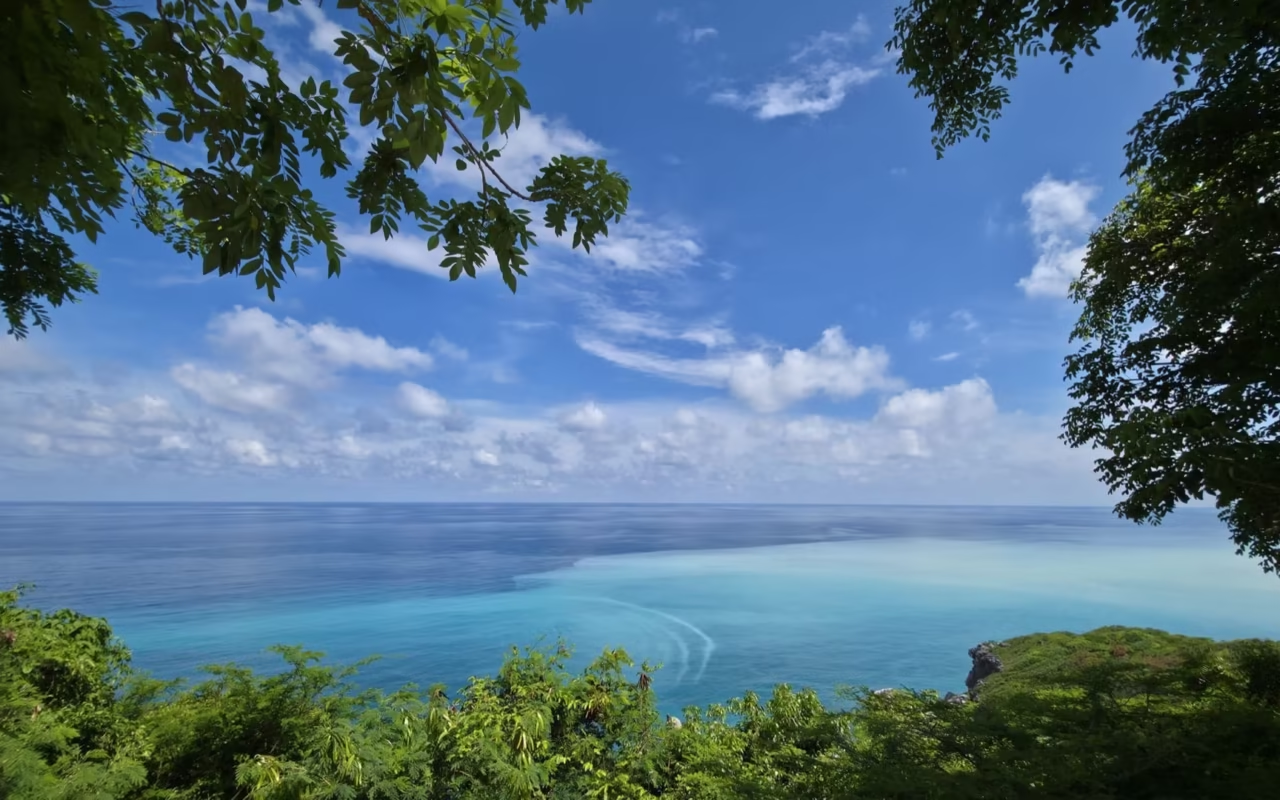
Between Barahona and the Haitian border, the Dominican Republic takes on a different character. The mountains plunge straight into the Caribbean Sea, the vegetation becomes dry and thorny, and the villages grow farther apart. Mass tourism has never taken hold here, due to the lack of an international airport and large hotel resorts.
That won’t last. Three hotels are springing up in Cabo Rojo, and the nearby international airport is set to welcome its first flights in February 2027, according to the Ministry of the Presidency. Until then, the southern coast can be explored as it always has been: by car, at a leisurely pace, with local guides.
Where are Barahona, Pedernales, and Bahía de las Águilas located?
Barahona is the gateway to the region. The city is located 185 km from Santo Domingo via Highway 6 de Noviembre and then the Carretera Sánchez, a drive of about three hours. From there, a single coastal road, the Carretera de Enriquillo, runs along the coast to Pedernales and the Haitian border.
The nearest airport is María Montez in Barahona, which is served by domestic flights. There is also an airfield in Cabo Rojo, connected to Santo Domingo via La Isabela. There are currently no international flights serving the southwest, which explains why the beaches are so quiet.
The road is paved all the way to Cabo Rojo. The last few kilometers to La Cueva are on a dirt road, passable in a high-clearance vehicle but difficult for sedans after heavy rains.
| Distance | Distance | Duration | Route |
|---|---|---|---|
| Santo Domingo to Barahona | 185 km | 3 hrs | November 6 Highway, then Sánchez Highway |
| Barahona to Paraíso | 40 km | 50 min | Enriquillo Highway, coastal road |
| Barahona to Pedernales | 123 km | 2 hrs 10 min | Enriquillo Highway |
| Pedernales to Cabo Rojo | 25 to 32 km | 40 min | Paved road then dirt road |
| From La Cueva to the beach | by the sea | 15 to 20 min | Fishing boat |
What to Do in Barahona and Along the South Coast?
The Beaches of the Barahona Coast
- Playa San Rafael: Freshwater pools fed by a stream flowing down from the mountains empty directly into the sea. Stalls selling grilled fish are open for lunch. Swim with caution, as the swell creates short waves.
- Playa Los Patos: A beach of light-colored pebbles where one of the country’s shortest rivers flows into the Caribbean Sea. Be sure to wear closed-toe sandals, as the pebbles are round and slippery.
- Playa El Quemaito: The least crowded of the three, nestled beneath a cliff, with freshwater springs right at the water’s edge.
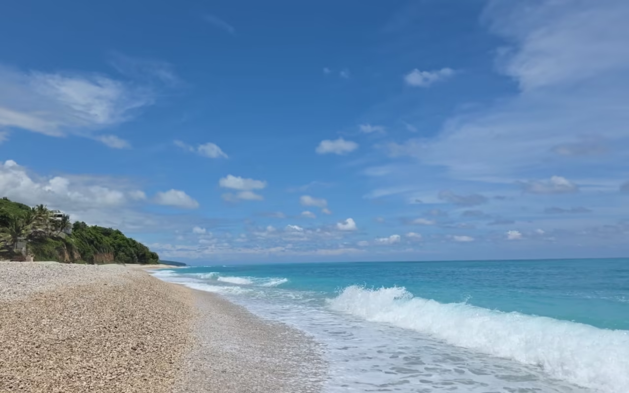
- Playa Cabo Rojo: light-colored sand and reefs close to the shore, 25 km south of Pedernales. It’s also the departure point for boats heading to the neighboring bay.
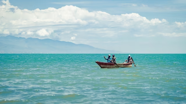
Go out by boat with the fishermen
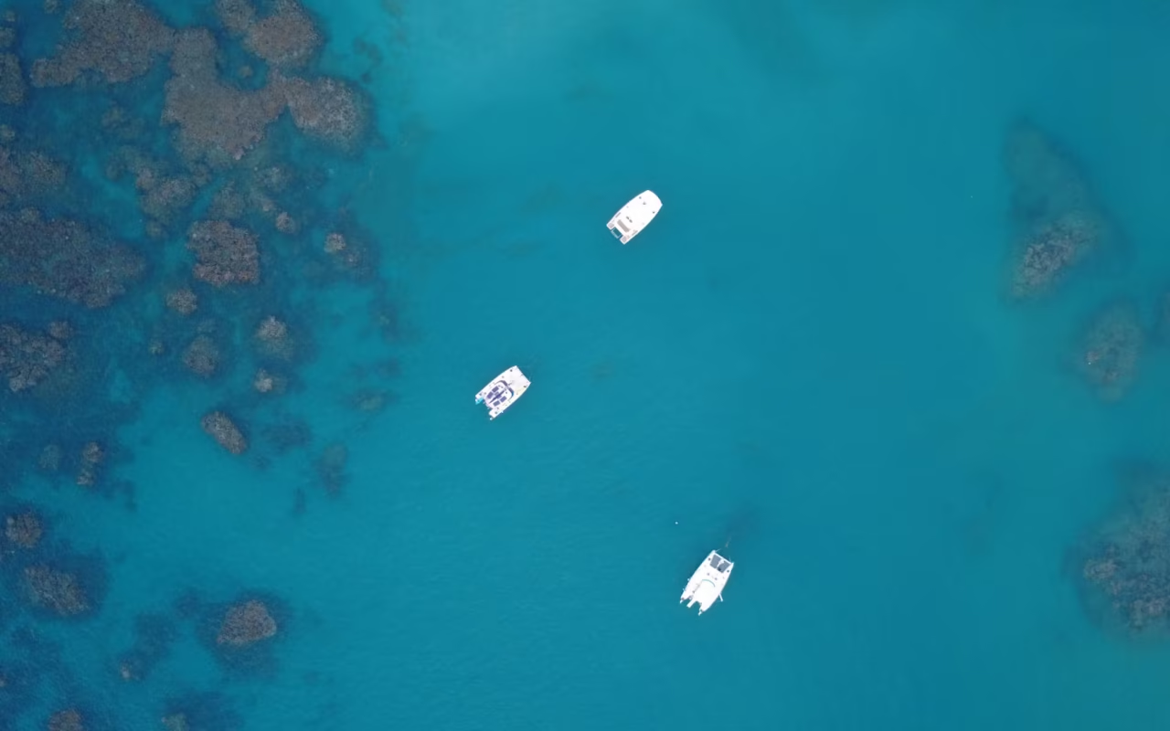
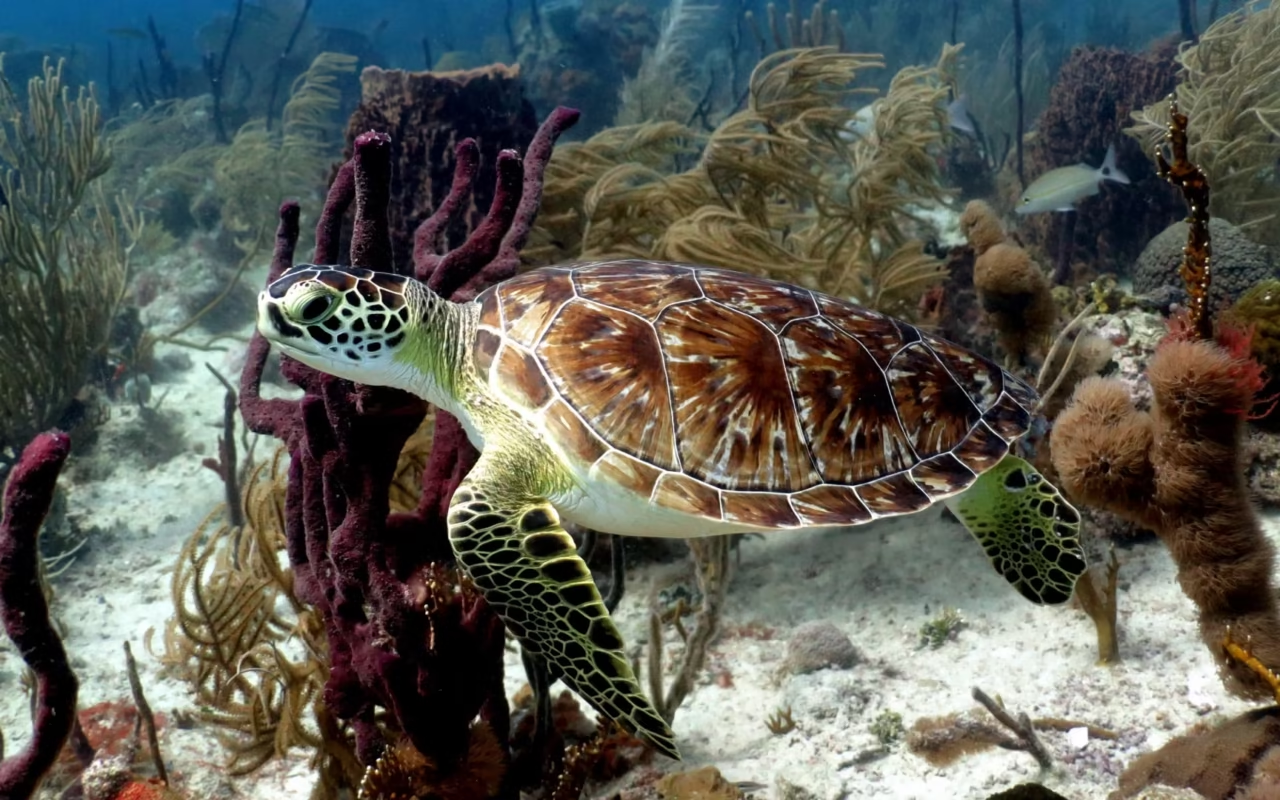
The coves along the southern coast are not accessible by road. We work with small local boats, carrying four to six people, to reach uncrowded snorkeling spots. Bring your own mask and snorkel before departure; there are no rental shops on site.
Hiking Above Paraíso
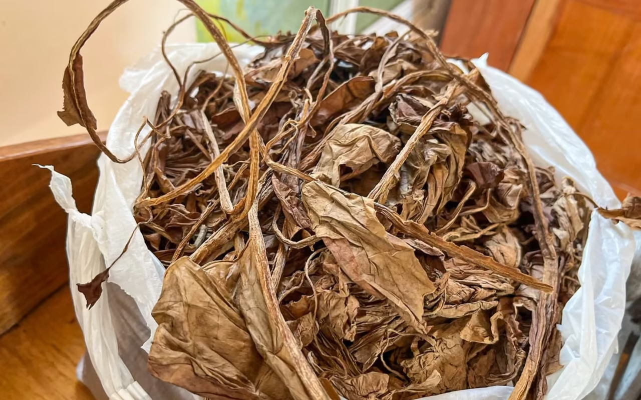
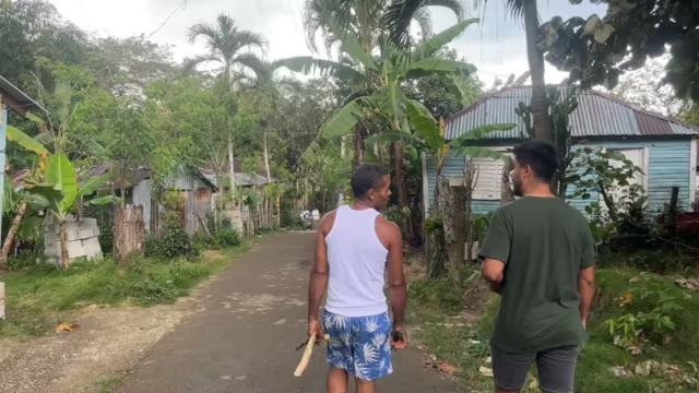
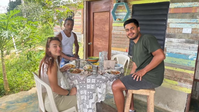
From Paraíso, a trail climbs for about two hours to an elevation of 800 meters. Along the way, you can sample seasonal fruits and cocoa beans picked that very morning. The hike ends at the home of a farming family living deep in the mountains, where you’ll enjoy a meal prepared on-site. The return trip follows a different slope.
How do I get to Bahía de las Águilas?
The bay is located at the southwestern tip of the country, within Jaragua National Park, the largest protected area in the Dominican Republic, covering 1,374 km², including 905 km² of marine area. The park was established in 1983 and, together with the Sierra de Bahoruco and Lake Enriquillo, has been a UNESCO-recognized biosphere reserve since November 2002.
There are two ways to reach the bay from Cabo Rojo. The first route goes through the fishing hamlet of La Cueva: a boat takes 15 to 20 minutes to travel along the limestone cliffs and drop visitors off on the sand. The second route follows a 4×4 trail, which is slower and rougher.
The checkpoint is located in La Cueva. This is where the park entrance fee—set at 150 pesos per person by Resolution 0006/2017 of the Ministry of the Environment—is paid, in cash only. The restaurants run by the fishermen’s association take lunch orders before boarding and prepare them for the return trip.
Along the 8 km of beach, there’s nothing: no restrooms, no showers, no snack bar, no shade other than the vegetation, and no cell service. Everything you consume, you bring with you—and you take it back with you. Bring three liters of water per person—and make sure to bring cash, as none of the ATMs in Cabo Rojo work.
What to see in the area: lagoons, mountains, and larimar
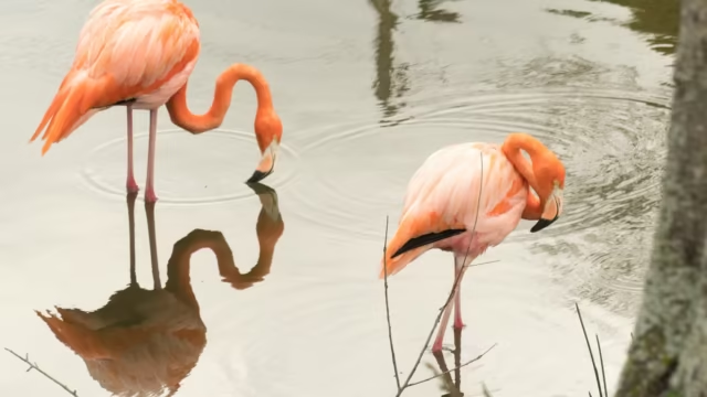
Two bodies of water can be visited in a single day from the coast. The hypersaline Laguna de Oviedo covers 28 km² and has an average depth of 1.5 m, with twenty-four islets where flamingos and herons nest. Lake Enriquillo, meanwhile, lies 46 m below sea level and is home to rhinoceros iguanas and American crocodiles.
Inland, the Sierra de Bahoruco transitions from dry woodland to cloud forest in an hour’s drive on a dirt road. The mountain range is home to most of Hispaniola’s endemic bird species. Finally, the Los Chupaderos mine, 10 km southwest of Barahona, remains the world’s only larimar deposit and is still in operation, contrary to what many websites claim.
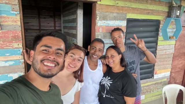
We also offer a day of agricultural and rural experiences with a family in the Pedernales region, centered around the harvest and preparing lunch. This is when travelers best understand what it means to live here.
When is the best time to visit the Dominican Republic's southwest?
The dry season runs from December to April: clear skies, calm seas, and temperatures ranging from 24 to 30 °C along the coast. This is the time of year when boat trips are canceled the least often.
From May through November, temperatures rise and showers fall in the late afternoon, though they don’t prevent sightseeing. The Atlantic hurricane season officially runs from June 1 to November 30, peaking in September and October. The southwest coast is less exposed than the north coast, but even a strong swell is enough to close the La Cueva pier.
How long should I stay in the area?
Plan on at least 3 days: one for the Barahona coast and its beaches, one for Pedernales and the bay, and one for the lagoon or the mountains. With less than that, the drive will take up the whole day, and you’ll only have time for the bay.
With 5 days, you can include the Sierra de Bahoruco and Lake Enriquillo in your itinerary without rushing. If you have more than a week, you can combine this region with a visit to Santo Domingo or the Central Mountain Range.
Safety and Organization on the Route to the South
The province of Pedernales is one of the safest areas in the country. The national park is patrolled by rangers. The risks stem less from crime than from isolation: no cell service over long stretches, gas stations are few and far between, and there are no gas stations past Barahona.
The coastal road is best driven during the day. It is narrow, unlit, and animals often cross it. It’s a good idea to carry identification near the border, where checkpoints are in place. We recommend traveling with a driver who knows the route rather than renting a car on your own.
Fill up your gas tank in Barahona and again in Pedernales. Withdraw cash before leaving Barahona: park admission, the boat ride, and meals must be paid for in pesos on site, as there are no card terminals. Three liters of water per person per day is the minimum on this arid coast.
FAQ: Barahona, Pedernales, and Bahía de las Águilas
How do I get to Bahía de las Águilas from Santo Domingo?
Plan on a full day of driving. It takes three hours to get from Santo Domingo to Barahona, and then another 2 hours and 10 minutes from Barahona to Pedernales via the Enriquillo Highway. From Pedernales, it’s 25 to 32 km to Cabo Rojo, and from there, a boat takes 15 to 20 minutes to reach the beach from La Cueva. Most travelers stay overnight in Barahona or Cabo Rojo the night before.
How much is the entrance fee to Jaragua National Park?
The entrance fee is 150 pesos per person, according to Resolution 0006/2017 of the Ministry of the Environment. It is paid in cash at the La Cueva checkpoint before boarding. The boat fare is paid separately, per group rather than per person. Organized tours sometimes include one of these fees, but rarely both, so it’s worth checking in advance.
How many days should you plan for the Dominican Southwest?
Three days cover the coast of Barahona, Pedernales, and the bay. Five days add the Laguna de Oviedo, Lake Enriquillo, and a hike in the Sierra de Bahoruco. With fewer than three days, travel time takes up most of your time, and your visit to the region is limited to a single beach.
When is the best time to visit Barahona and Pedernales?
From December through April, when the sea is calm and the skies are clear, with temperatures ranging from 24 to 30 °C. From May through November, temperatures rise and showers occur in the late afternoon. The hurricane season runs from June 1 through November 30, peaking in September and October.
Is the Dominican Republic’s southwest safe?
Yes. The province of Pedernales is one of the most peaceful in the country, and the national park is patrolled. The real challenges are the isolation and the road conditions: no cell service in some areas, few gas stations, and driving at night should be avoided. Be sure to carry cash, water, and a form of ID when traveling near the border.
Updated: August 15, 2026
About the Author
Laura Grenouillet is the founder of Terra Dominicana, an inbound travel agency specializing in custom trips to the Dominican Republic. Based in the country, she has been exploring the southwest region—from Barahona to Pedernales—for several years and works with local guides and fishermen along the coast.
Sources
- Ministry of the Environment and Natural Resources, Jaragua National Park
- Ministry of the Environment, Resolution 0006/2017 on entrance fees for protected areas
- UNESCO, Jaragua-Bahoruco-Enriquillo Biosphere Reserve
- Ministry of the Presidency, Cabo Rojo International Airport Schedule, May 2026
- Ministry of Energy and Mines, Larimar
- Field observations by Terra Dominicana, 2025 and 2026