In a Nutshell
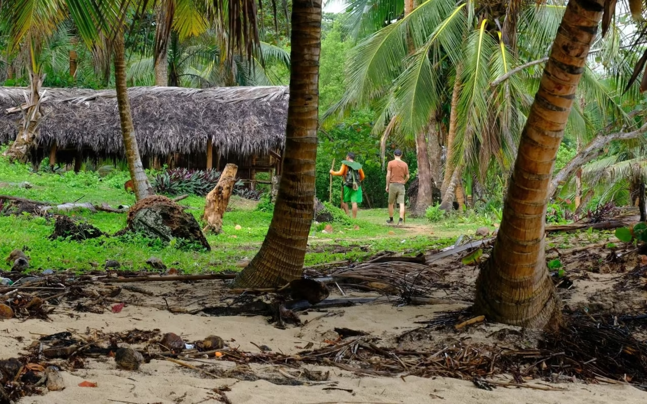
The Dominican Republic offers much more than just beaches. With peaks exceeding 3,000 meters, pine forests, agricultural valleys, and spectacular waterfalls, the country offers authentic hiking experiences—from multi-day high-mountain treks to accessible day hikes, whether with family or fellow outdoor enthusiasts.
A Surprising Inland Region
The Dominican Republic is often associated with its coastline. Yet the interior of the country reveals a rugged landscape, particularly in the Cordillera Central —nicknamed the “Dominican Alps” for its mist-shrouded peaks, pine forests, and cool temperatures that contrast with the rest of the island. It is here that you’ll find the Caribbean’s highest peaks, iconic waterfalls, and off-the-beaten-path national parks.
Comparison Table of the Main Hiking Trails
| Hiking / Region | Region | Duration | Difficulty | Highlight |
|---|---|---|---|---|
| Pico Duarte | Central Mountain Range | 3 days / 2 nights minimum | Difficult | Highest peak in the Caribbean (3,087 m) |
| Valle Nuevo | Central Mountain Range | Day hike; 2–3 days | Moderate to difficult | Plateau at 2,200 m, pine forests, endemic species |
| Bahoruco Mountains | Southwest | Day hike | Moderate | 30+ endemic bird species |
| Jarabacoa (trails) | Central Mountain Range | Half-day to full-day | Easy to moderate | Ideal base, waterfalls, rafting available |
| El Limón Waterfall | Samaná Peninsula | 2.5 km / 30–45 min round trip | Easy | Iconic waterfall, 40–50 m, horseback riding available |
| Los Haitises (boat ride + hike) | Samaná Bay | Day trip | Easy | Mangroves, Taíno caves, birds |
Great Mountain Treks
1. Pico Duarte — The Roof of the Caribbean
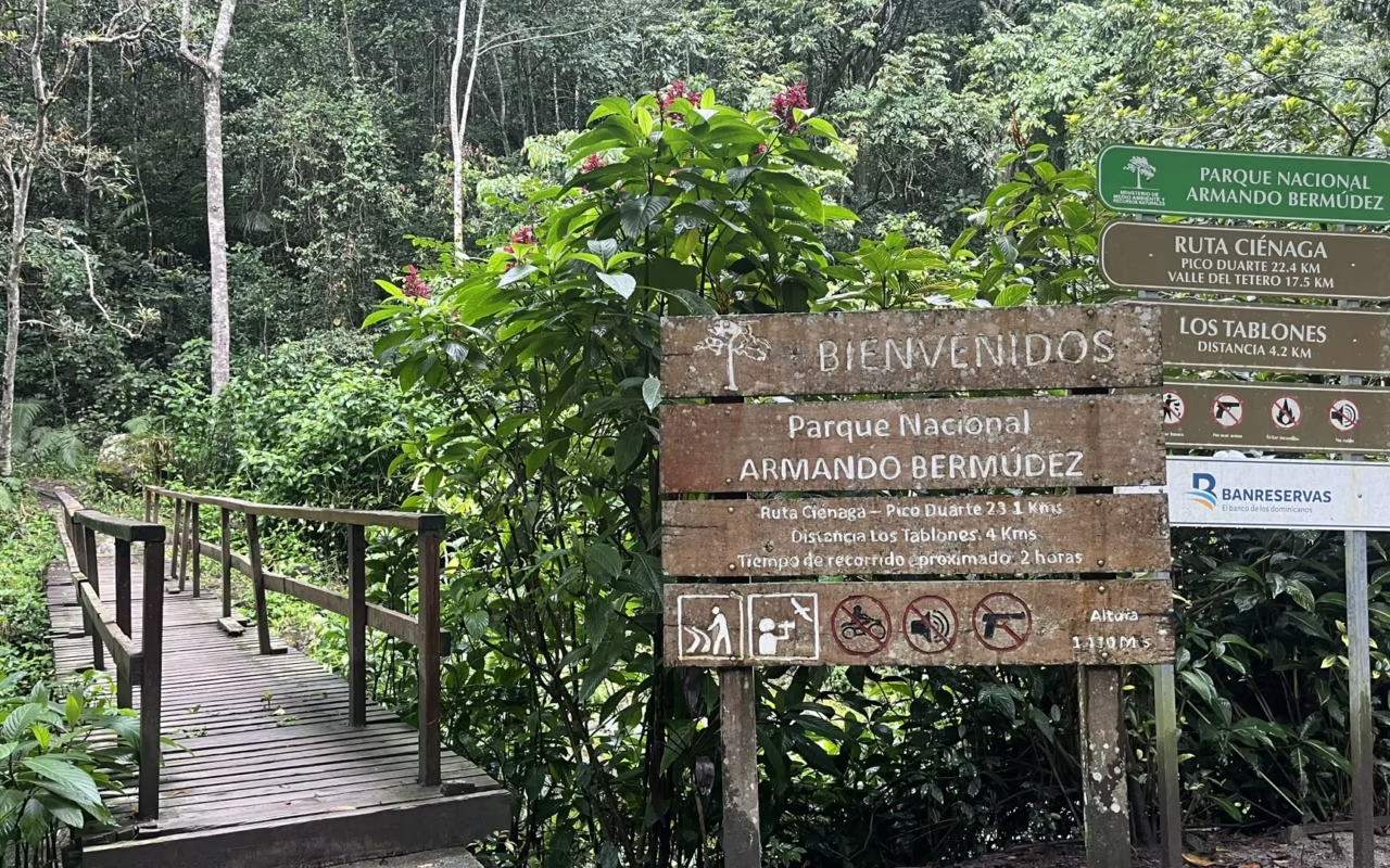
Pico Duarte, the highest peak in the Caribbean at 3,087 meters, rises in the heart of Armando Bermúdez National Park (~766 km²). The classic trek starts from La Ciénaga (a village at 1,100 m, 55 km from Jarabacoa) and takes 3 days and 2 nights:
- Day 1: ~18 km to the Compartición camp (2,450 m) — river crossings, pine forests, gradual elevation gain
- Day 2: Departure before dawn to reach the summit at sunrise, passing through the Lilís Valley. Return to camp.
- Day 3: Descent to La Ciénaga
~43–46 km round trip with over 2,600 m of elevation gain. During the cold season, temperatures can drop below 0°C at the summit. A local guide is required (trails are poorly marked). Mules are available for carrying luggage.
Terra Dominicana Tip: We offer an “all-inclusive” option with a certified guide, full logistical support, and appropriate gear (tents, sleeping bags, thermal insulation).
2. Valle Nuevo National Park — The Plateau of the Clouds
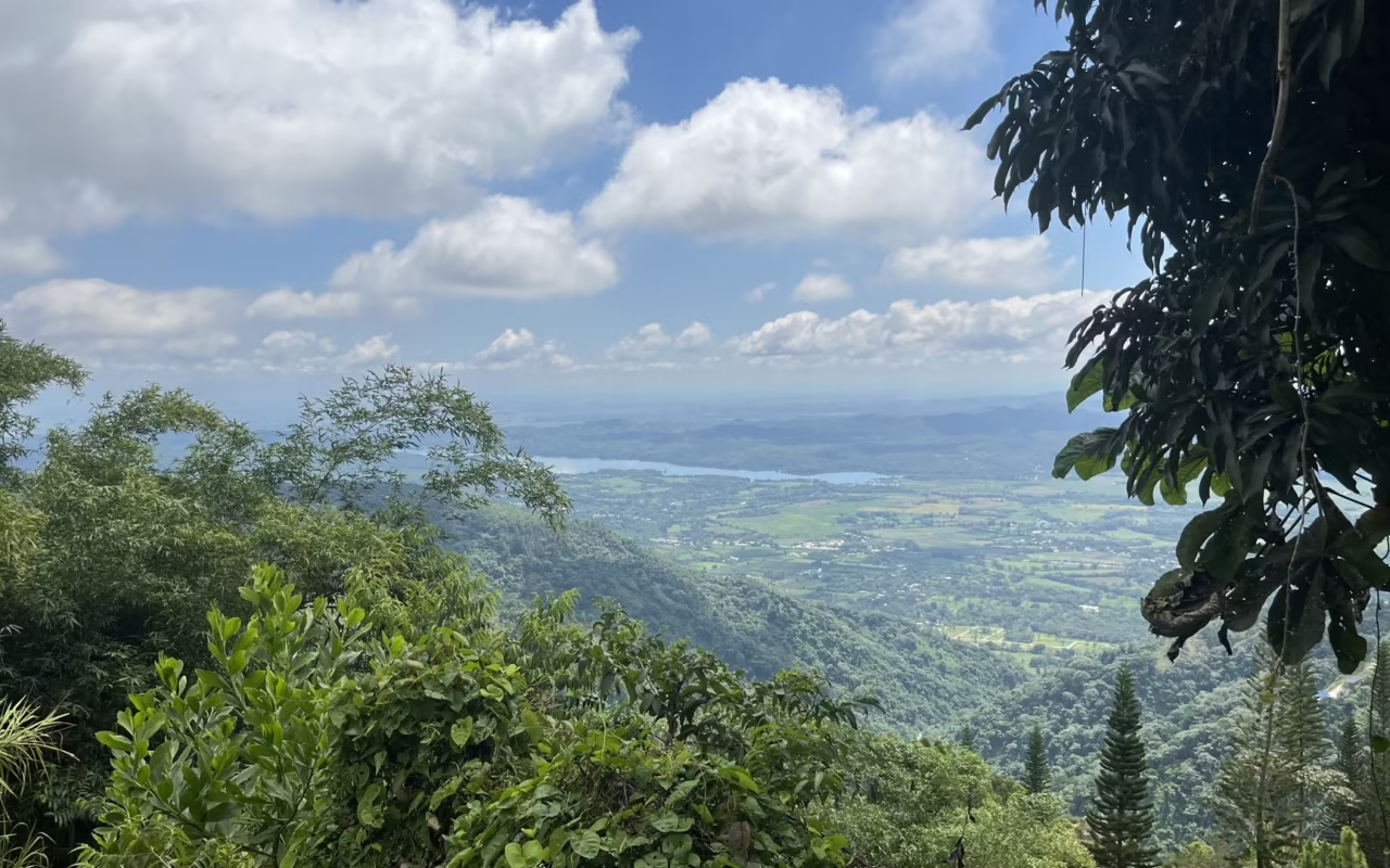
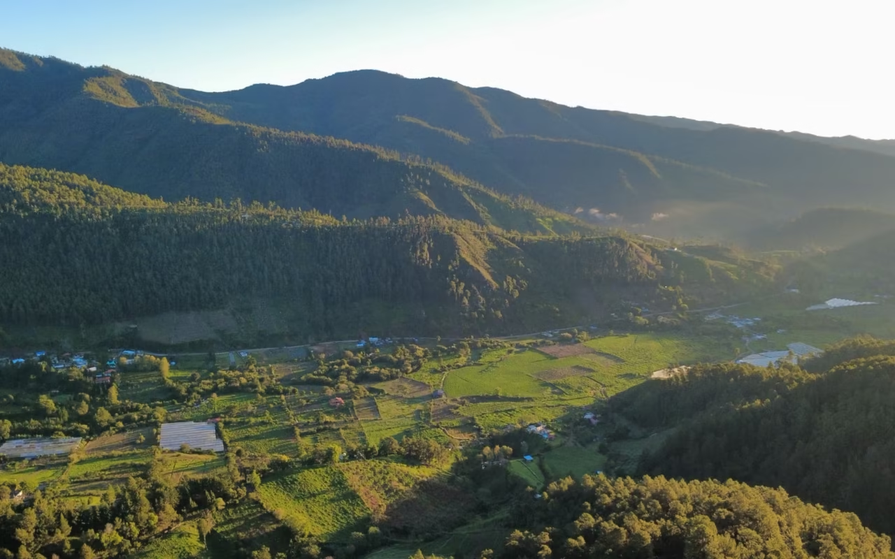
Located in the Cordillera Central, Valle Nuevo covers approximately 910 km² on a plateau perched at an altitude of over 2,200 meters. The landscape alternates between endemic pine forests, high-altitude savannas, and misty areas. The park is home to more than 500 plant species and a remarkable variety of birdlife. It is also home to the Cyclopean Pyramid, an iconic landmark of the Constanza region.
Terra Dominicana Tip: Pack layers even during the dry season—temperature differences between noon and dawn can range from 15 to 20°C. This area pairs perfectly with Jarabacoa on a 3- to 4-day “Dominican Mountains” itinerary.
3. Sierra de Bahoruco — A Birdwatcher’s Paradise
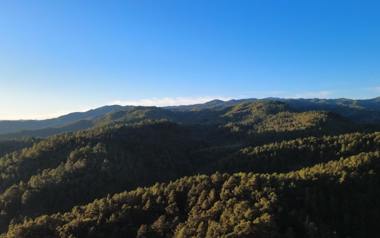
Located in the southwestern part of the country, the Sierra de Bahoruco is distinguished by its remarkable contrasts in elevation. Within just a few kilometers, the landscape transitions from arid and semi-desert areas to cool, humid mountain forests.
The park is internationally renowned for birdwatching: more than 30 endemic species can be spotted here—including yellow-naped parrots, Hispaniolan palm-cuckoos, and Antillean owls… It is one of the most biologically diverse bird areas in the entire Caribbean. It pairs naturally with Jaragua National Park for a comprehensive itinerary in the southwest.
Day Hikes
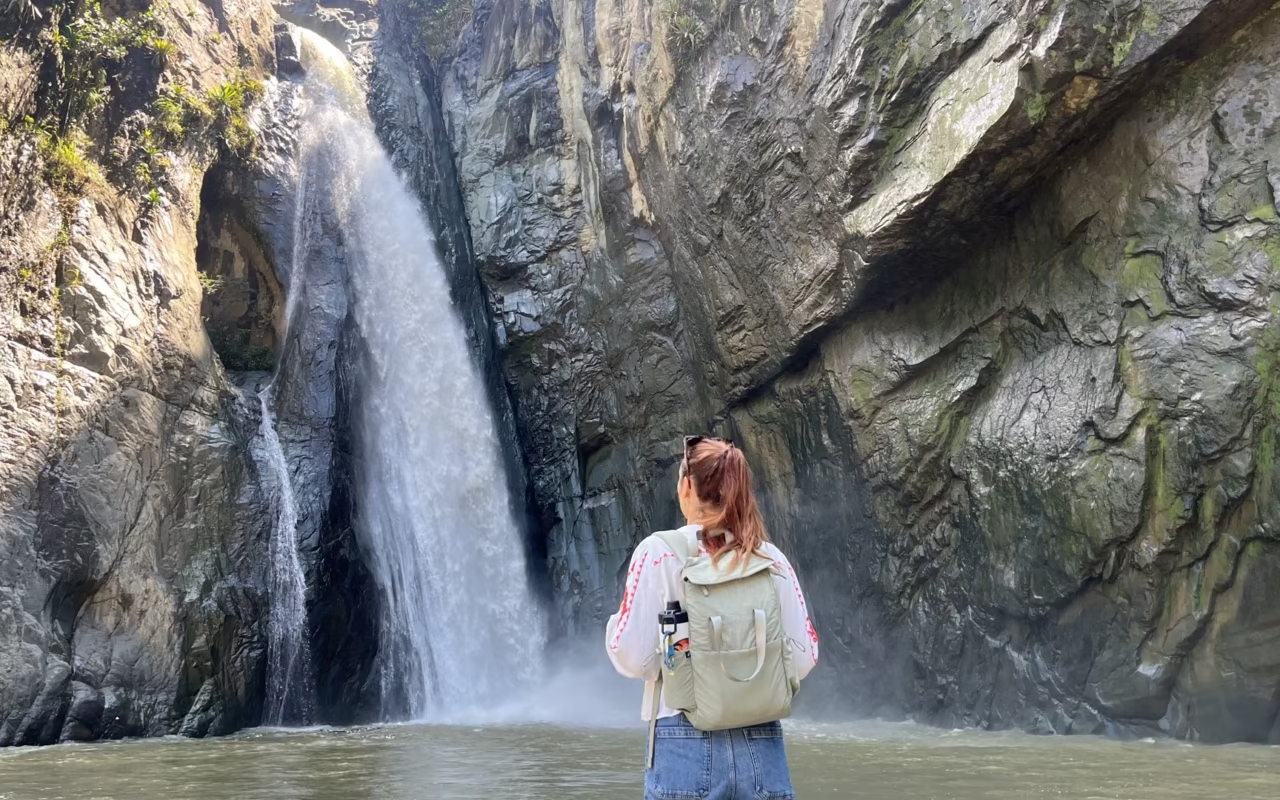
Jarabacoa — The Ideal Base in the “Dominican Alps”
Nicknamed the “City of Eternal Spring” for its temperate climate, Jarabacoa is the ideal base for day hikes in the Cordillera Central. Mountain trails, waterfalls, and lush green valleys line the routes leading out of the city.
Combine these with other activities in the region: rafting on the Río Yaque del Norte (the country’s longest river), canyoning, and catarafting. There is a wide range of lodging options available in chalets or ecolodges. Ideal for travelers seeking a mountain experience without undertaking the Pico Duarte trek.
El Limón Waterfall — Samaná’s Iconic Waterfall
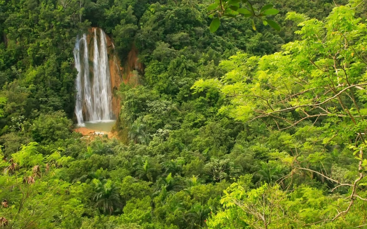
On the Samaná Peninsula, the hike to Cascada El Limón leads to one of the most photographed waterfalls in the country. The waterfall plunges 40 to 50 meters into a natural pool surrounded by dense tropical vegetation. The 2.5-kilometer trail (30 to 45 minutes) can be explored on foot or on horseback with a local guide.
Tip: Set out early in the morning to avoid tour groups. The morning light is also more flattering for the surrounding vegetation. This trip can easily be combined with a visit to Samaná’s beaches.
Best Time for Hiking
| Period | Terms and Conditions | Recommendation |
|---|---|---|
| December–February | Stable weather, cool at higher elevations, possible frost at the summit of Pico | Ideal for Pico Duarte |
| March–April | Good conditions, slight increase in humidity | Excellent for all hikes |
| May–June | Start of the rainy season, more lush forests | Day hikes are fine; Pico is possible with some flexibility |
| July–August | Frequent rain at higher elevations, but peaks are often accessible | Feasible, but guided tours are essential |
| September–November | Hurricane season, heavy rains, slippery trails | Best avoided for high-altitude treks |
See also our comprehensive guide to the seasons.
Practical Tips
- Conditions vary by region: cool temperatures at high altitudes (Pico, Valle Nuevo), arid heat in the southwest (Bahoruco), and tropical humidity in Samaná.
- A certified guide is required for Pico Duarte and high-altitude treks. For day hikes (El Limón, Jarabacoa), one is strongly recommended.
- Bring enough water (at least 2 liters per person at high altitudes), sunscreen, and light cold-weather gear for the mountains.
- Waterproof hiking boots are required for Pico Duarte. Water sandals are useful for river crossings.
At Terra Dominicana, we handle park access permits, select certified guides, and integrate the hike into an itinerary that aligns with the other parts of your trip.
Frequently Asked Questions
What is the most famous trek in the Dominican Republic?
The ascent of Pico Duarte is the most iconic hike. At 3,087 meters above sea level—the highest peak in the entire Caribbean—it typically takes 3 days to complete, starting from La Ciénaga. A guide is required.
Is a guide required?
Yes, for high-altitude treks like Pico Duarte—the trails are unmarked, and weather conditions can change rapidly. For day hikes (Jarabacoa, El Limón), a local guide is recommended for safety and logistical reasons.
Can a hike be incorporated into a standard itinerary?
Yes. A half-day hike at El Limón fits easily into a trip to Samaná. Jarabacoa can be a stopover for one or two nights between Santo Domingo and the north coast. Pico Duarte requires 3 to 4 full days.
What’s the difference between Jarabacoa and Valle Nuevo?
Jarabacoa (850 m above sea level) is a mountain town with tourist infrastructure—an ideal base for day trips, rafting, and canyoning. Valle Nuevo (a plateau at 2,200 m) is wilder and more isolated, perfect for lovers of unspoiled nature and endemic birds. See our article on Jarabacoa and Constanza.
Conclusion
Hiking in the Dominican Republic means discovering another side of a country that’s all too often reduced to its beaches. The mountains of the Cordillera Central, high-altitude forests, agricultural valleys, and tropical waterfalls reveal a land of contrasts—often completely unexpected. Depending on your skill level, pace, and available time, we design tailored, well-structured, and expertly guided itineraries. The Dominican Republic is also best explored on foot.
About the Author
Laura Grenouillet is the founder of Terra Dominicana, based in Santo Domingo. She regularly explores the country’s mountainous regions and national parks to design itineraries tailored to English-speaking travelers.
Sources
- National System of Protected Areas (SINAP) — sinap.ambiente.gob.do
- Armando Bermúdez National Park — Official Information
- Visit Dominican Republic — Pico Duarte Guide