The Cabrera, Río San Juan, and Jamao al Norte region spans the northeastern coast of the Dominican Republic, in the province of María Trinidad Sánchez. Allow 3 to 4 days to explore the area. Highlights include: the Gri-Grí Lagoon, the approximately 1-kilometer-long Playa Grande beach, the cenotes of Laguna Dudú, and the protected El Saltadero waterfall, designated a natural monument in 2009.
Cabrera, Río San Juan, and Jamao al Norte are among the least-known regions along the Dominican Republic’s Atlantic coast. With few visitors, they offer an experience that’s truly off the beaten path. Here, you’ll discover natural lagoons, waterfalls, spectacular beaches, rivers, caves, and cliffs, as well as immersive local experiences that bring you into direct contact with the communities.
Here, tourism remains on a small scale, far from developed areas. These destinations are perfect for travelers seeking unspoiled nature, low-key adventures, and a more off-the-beaten-path Dominican Republic.
Where is Cabrera, and how do you get there?
The three stages are spread across the María Trinidad Sánchez province, between Cabarete and Nagua. Río San Juan is located about 60 kilometers east of Cabarete. Cabrera is about 15 km further east, past Playa Grande, and 36 km from Nagua. Jamao al Norte is set back inland, on the northern slope of the Northern Cordillera.
The nearest airport is Puerto Plata (POP), about a two-hour drive along the coast. El Catey Airport (AZS) serves the Samaná Peninsula and is the other point of entry, though it has infrequent seasonal flights. The coastal road is paved and easy to drive along the entire route from Cabarete to Río San Juan, Cabrera, and Nagua. Access to the beaches and El Saltadero, however, ends in dirt roads. A high-clearance vehicle is comfortable, though not essential during the dry season. Details on car rental and driving are summarized in our guide to transportation in the Dominican Republic.
Río San Juan – Serenity and Authenticity
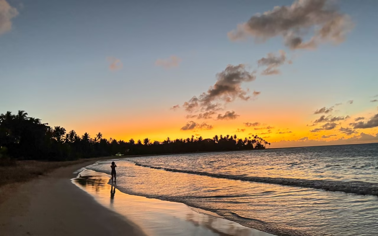
A small coastal village with colorful Creole houses, Río San Juan charms visitors with its peaceful atmosphere and provincial charm. Local life revolves around fishing, livestock farming, and dairy production. The sunsets, renowned as among the most beautiful on the northeastern coast, enhance this gentle and welcoming atmosphere.
What to do around Río San Juan?
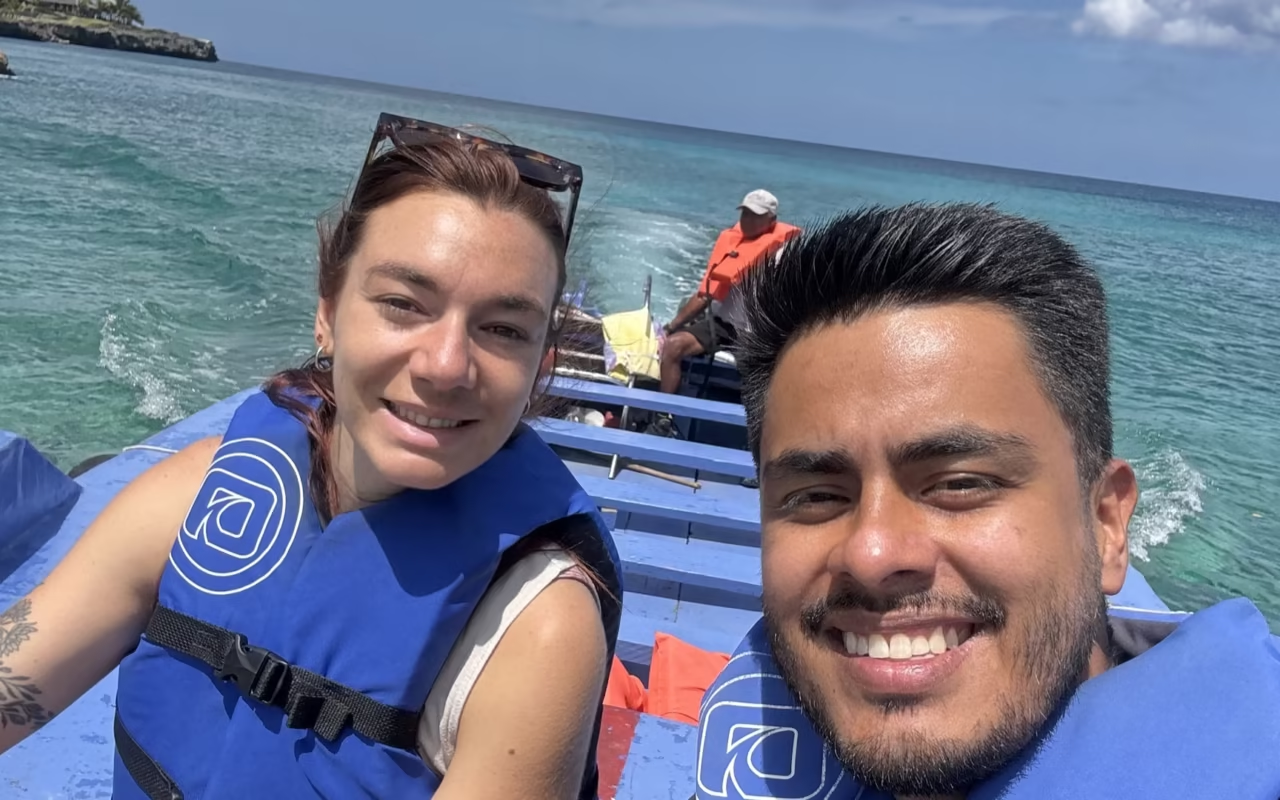
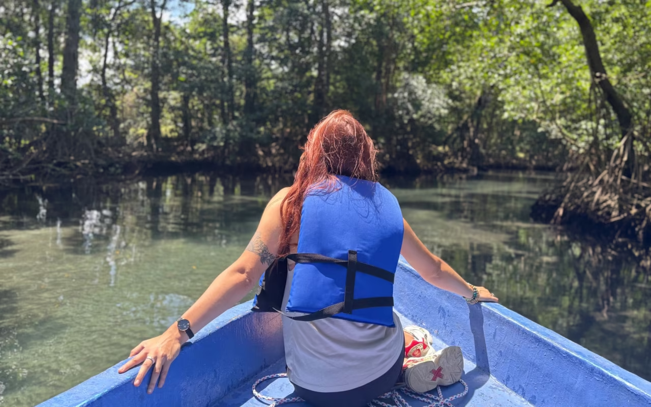
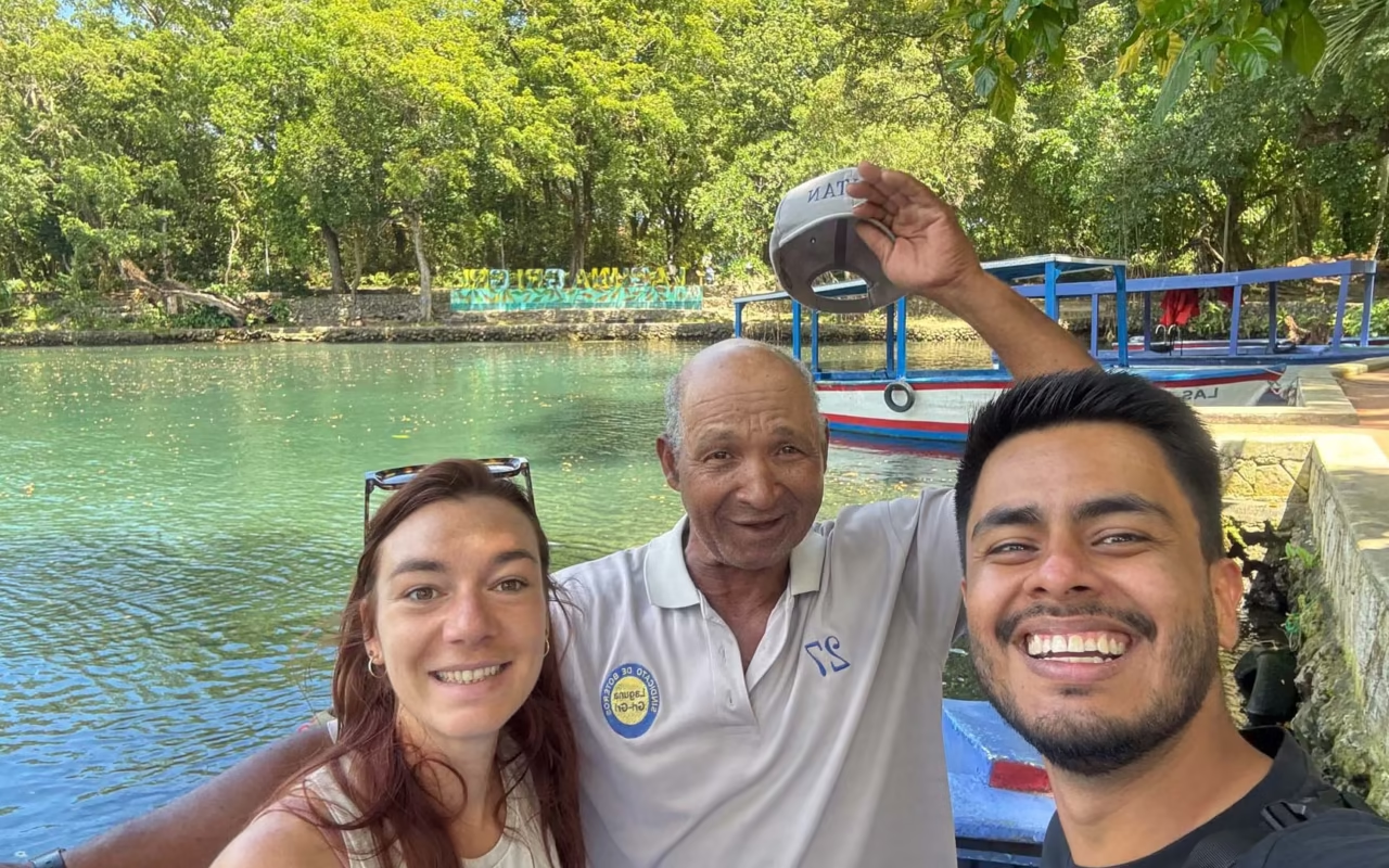
The Gri Gri Lagoon, located in Río San Juan, is one of the most fascinating coastal ecosystems on the northern coast. Designated a “natural monument,” it can be explored by boat through a network of mangroves and natural channels, all the way to the ocean and wild beaches like Playa Caletón.
— What is the experience like?
« A gentle cruise through the mangroves, then out onto the open ocean, with stops at natural pools, caves, and coves. You can go snorkeling or take a break on the beach in a setting perfect for birdwatching.«
— What did you think of it?
« I absolutely loved it. Amid the mangroves and the intensely turquoise, crystal-clear waters, you’ll discover unspoiled landscapes that seem almost surreal. »
— Any advice?
« Opt for a local guide for a smoother, more intimate, and enriching experience.«
Playa Grande
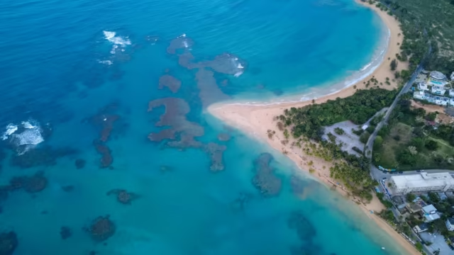
About ten kilometers away, Playa Grande is undoubtedly one of the most beautiful beaches in the Dominican Republic. It stretches for about 1 km of white sand along the Dominican Atlantic coast.
It’s also a popular spot for surfing and bodyboarding, attracting enthusiasts from all over the country. “Chiringuitos” (or small beach huts) located at the entrance to the beach serve traditional cuisine, including a must-try local specialty: fish cooked with coconut.
Terra Dominicana Tip : The beach is magnificent, but the ocean can be rough, with strong currents. It’s not recommended for children or people who aren’t strong swimmers.
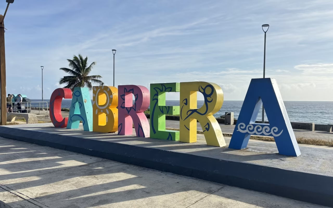
Cabrera – Cliffs, coves, and hidden beaches
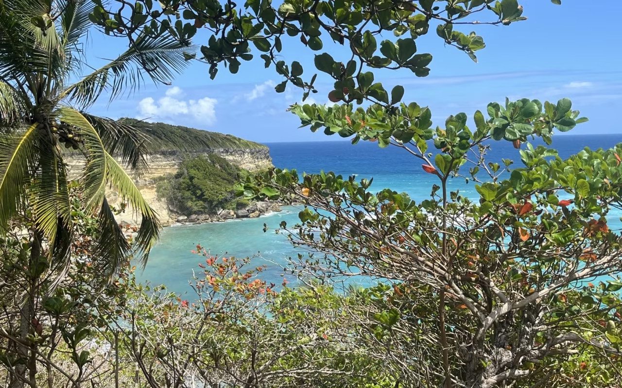
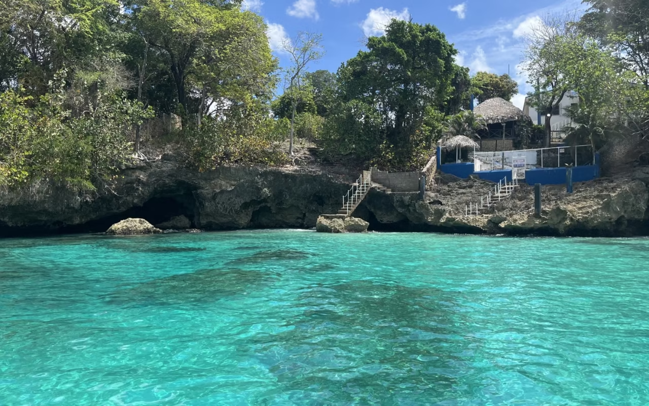
Founded in 1891, Cabrera remains one of the least-known corners of the north coast. There are few tourist facilities and little signage, but a succession of breathtaking landscapes. Cliffs, secluded coves, family-friendly beaches, and freshwater spots make up a largely unspoiled area that’s perfect for exploration.
Laguna Dudú, two cenotes connected beneath the rock
Laguna Dudú takes you by surprise as soon as you arrive : the entrance is unassuming, but after a few meters, you discover this true natural gem. Two freshwater lagoons—one very deep and the other more accessible—open up amid dense vegetation.
There’s plenty to do: you can swim, explore the caves, go kayaking, or enjoy an iconic zip line that lets you dive straight into the water Tarzan-style! The site is easy to explore on foot, and we highly recommend it for families.
Playa Diamante – The Ultimate Family Beach
Just a few minutes from downtown Cabrera, Playa Diamante is a sheltered beach with calm, shallow waters, bordered by dense vegetation and offering plenty of shade. It’s certainly one of the most family-friendly beaches in the region. With kayaks, small boats, and local restaurants, you can spend a full day here in a friendly atmosphere.
El Saltadero Natural Monument
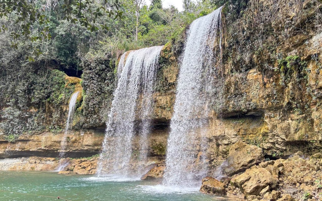
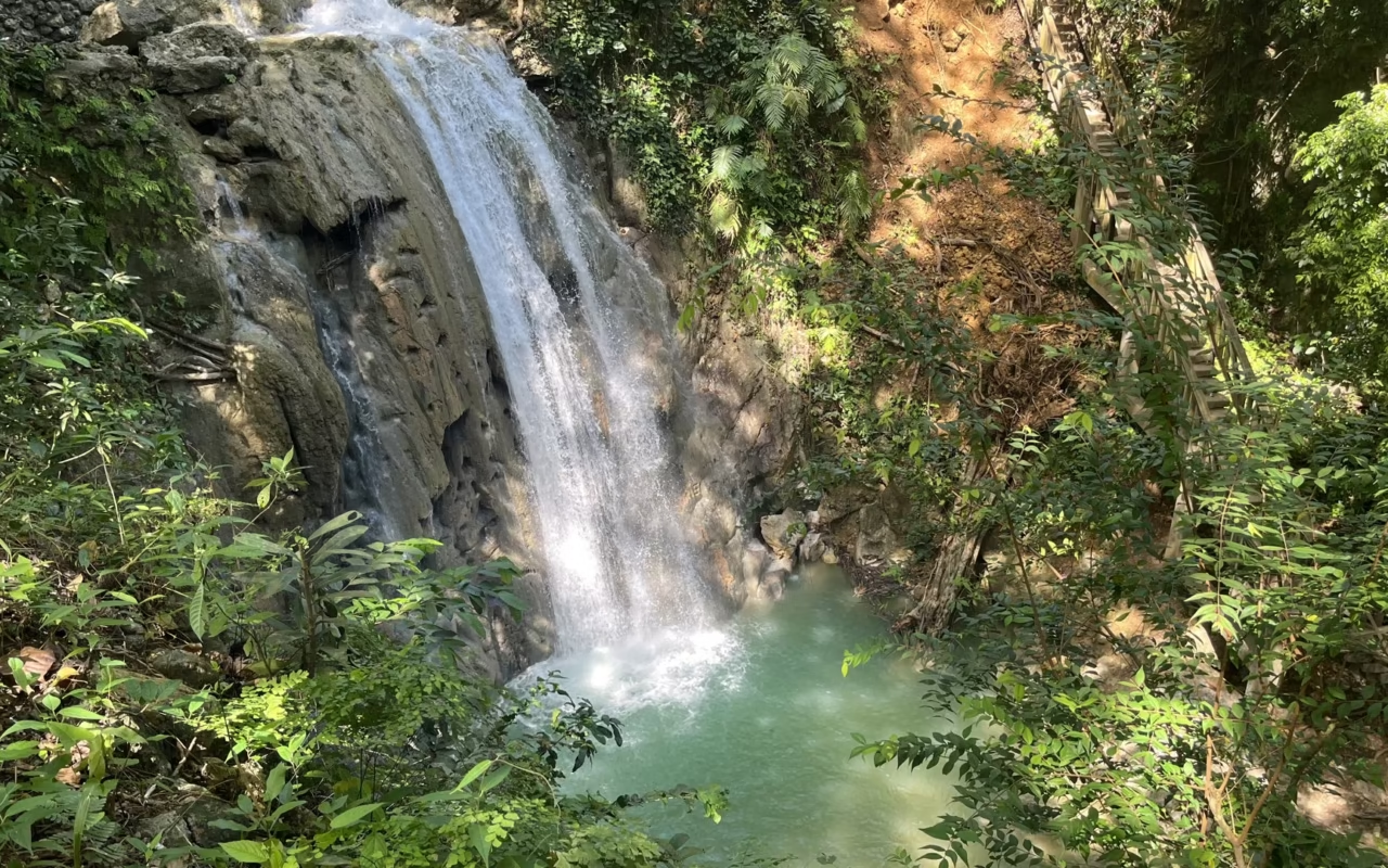
El Saltadero Natural Monument has been a protected waterfall since 2009. The site stands out for the opportunity to swim just before the falls, in cool waters surrounded by a lush rainforest.
No need to walk—just park your car and head straight to the waterfall!
Much loved by locals, El Saltadero also attracts thrill-seekers thanks to the spectacular dives performed by local youth (a sight not to be missed!).
El Saltadero has been protected since Decree 571-09 of October 22, 2009, which established the natural monument covering 2.62 km² starting at the confluence of the Caya Clara stream and the Sigua River. The waterfall is located on the Cabrera Promontory, beneath a lush rainforest. Swimming is permitted in the pools just upstream from the waterfall.
Located 4 km west of Cabrera, on the road to Río San Juan, the Cabo Francés Viejo Natural Monument covers 1.5 km² of coastal plateau, cliffs, and reefs. It was first designated a national park by Law 654 of May 2, 1974, and then reclassified as a natural monument in 2009. El Bretón Beach, nestled between the cliffs, lies along its edge. This is the result of a search for “Cabrera National Park,” which actually refers to this site.
Jamao al Norte – Adventure and Immersion in the Dominican Republic
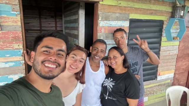
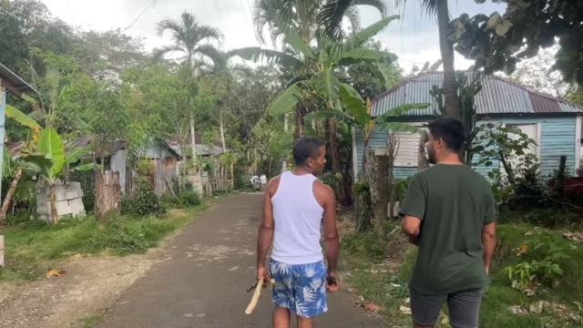
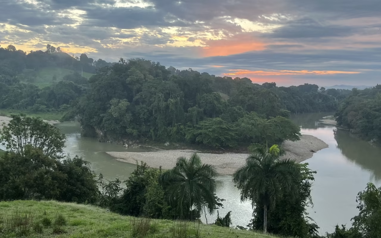
Inland, Jamao al Norte reveals a more rural and community-oriented side of the Dominican Republic. This region is known for its homestay experiences, combining cultural immersion and adventure in the great outdoors, far from the crowds.
Travel Review – A Memorable Night Staying with a Local
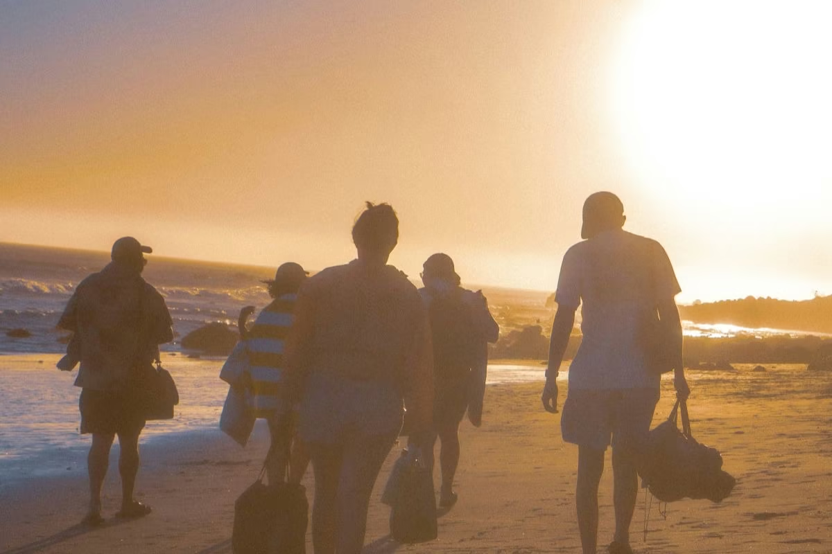
« We arrive at a lush, green property in the heart of the Jamao del Norte countryside, and the welcome is immediately warm. We take the time to chat, soak in the atmosphere, and then everyone chooses a tent: either we set up our own, or we opt for one that’s already set up.
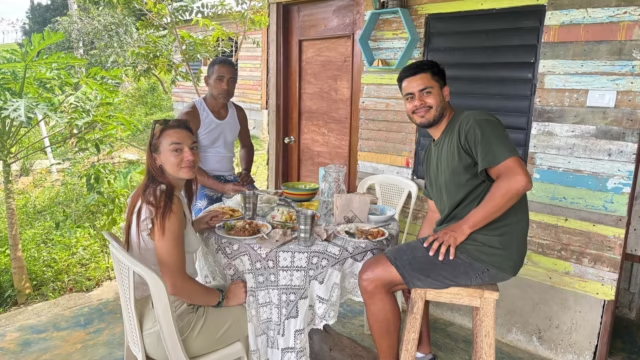
At the end of the day, I was immediately drawn in by the aromas of traditional dishes prepared by our host. I really loved chatting with the family over dinner.
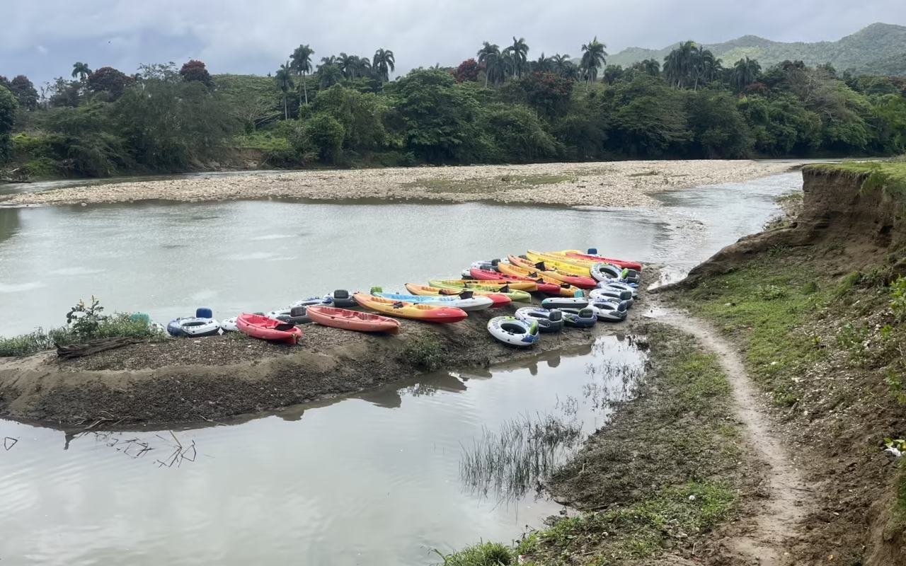
The next day, it was time for an adventure down the crystal-clear river! I chose tubing (on inner tubes), but you can also go by kayak. It was definitely a chance to experience the real Dominican Republic!”
This remote region also offers more intense adventures for thrill-seeking travelers, with canyoning trails that alternate between waterfalls, jumps, and natural pools. For a more leisurely experience, beautiful guided hikes let you discover turquoise pools, rock formations, and unspoiled landscapes.
Which beach should I choose between Río San Juan and Cabrera?
| Beach | Municipality | Swimming | Profile | Access |
|---|---|---|---|---|
| Playa Grande | San Juan River | Strong currents | Surfing and bodyboarding, about 1 km of sand | Paved road, parking |
| Caletón Beach | Río San Juan | Calm | Small, sheltered cove; very crowded on weekends | Short trail from the road |
| Diamante Beach | Cabrera | Quiet and shallow | Enclosed bay, shade, families | Just a few minutes from downtown Cabrera |
| El Bretón Beach | Cabrera | Varies depending on the swell | A cove beneath cliffs in Cabo Francés Viejo | Path from the Cabrera highway, Río San Juan |
| La Entrada Beach | Cabrera | Atlantic swell | A long, quiet stretch of beach, village | Paved road |
Playa Grande is exposed to Atlantic swells, and the currents there are steady; there is no permanent lifeguard service. If you have young children, choose Playa Diamante or Playa Caletón, where the waters remain calm and shallow. Save Playa Grande for walking, surfing, and watching the sunset.
When is the best time to visit the northeast coast?
The safest time to visit is from December through April, when the days are dry and the sea is calmer. The north coast receives more rain than the southern part of the country, even during the dry season, but these are short showers. November and December see the heaviest rainfall along this coastline.
The Atlantic hurricane season runs from June 1 to November 30, with a statistical peak between August and October. September and October bring a combination of rain, swells, and occasional closures of natural sites. Laguna Dudú and El Saltadero remain open year-round, but the water becomes murky after heavy rainfall. Month-by-month highlights are detailed on our page about when to visit the Dominican Republic.
How long should I stay, and where should I stay?
Allow three days for Río San Juan, Playa Grande, and Cabrera, and four to five if you add a night in Jamao al Norte. If you have less than two days, you’ll have to skip either the Gri-Grí Lagoon or the cenotes and waterfall day trip, as both are located on either side of Cabrera.
Accommodations here are on a small scale. You’ll find beachfront hotels in Río San Juan, as well as villas and bed-and-breakfasts around Cabrera and Playa Grande. In Jamao al Norte, you’ll stay with local families on farms run by families from the valley. There are no large all-inclusive resorts along this route, which explains why the coastline remains quiet outside of Dominican weekends. Budget guidelines are provided in our travel budget guide.
Is it safe, and what do I need to know before I go?
The main risk along this stretch is the ocean, not crime. Drowning incidents occur mainly on beaches facing the Atlantic, particularly Playa Grande, where rip currents are common and lifeguards are not on duty during the off-season. Swim in sheltered coves when there is a swell.
Second, the roads. Nighttime driving between Nagua and Cabrera is not recommended; street lighting is scarce, and motorcycles often travel without lights. Third, private natural sites such as Laguna Dudú charge an entrance fee in cash and close in the late afternoon. The general security situation is covered on our page “Is the Dominican Republic Dangerous?”
Frequently Asked Questions
Where is Cabrera located in the Dominican Republic?
Cabrera is a municipality in the María Trinidad Sánchez province, on the country’s northeast coast, between Río San Juan to the west and Nagua to the east, 36 km from the latter. The town was founded in 1891 under the name Tres Amarras and was later renamed in honor of General José Cabrera. The nearest airport is Puerto Plata, about a two-hour drive away.
Is there a national park in Cabrera?
Yes, it is called Cabo Francés Viejo. The site was designated a national park by Law 654 of May 2, 1974, and later reclassified as a natural monument in 2009. It covers 1.5 km² of coastal plateau, cliffs, and reefs, 4 km west of Cabrera, and is home to El Bretón Beach. El Saltadero Waterfall, protected since 2009, is the municipality’s second protected area.
Playa Grande or Playa Diamante with kids?
Playa Diamante, without a doubt. Its sheltered bay offers calm, shallow water, with shaded areas and nearby restaurants. Playa Grande stretches for about 1 km facing the open Atlantic, with strong currents and no permanent lifeguard service. It’s great for surfing, walking, and photography, but less suitable for family swimming.
How many days should you plan for the Río San Juan, Cabrera, and Jamao al Norte route?
Three days are enough to cover Gri-Grí Lagoon, Playa Grande, Dudú Lagoon, and El Saltadero. Plan for four to five days if you include a homestay in Jamao al Norte and a river trip by inner tube or kayak. If you have fewer than two days, you’ll have to choose between the coast and the inland areas.
When is the best time to visit this coast?
From December to April, during the dry season. The Atlantic hurricane season runs from June 1 to November 30, peaking between August and October. The north coast receives more rain than the south of the country throughout the year, in the form of short showers. After a heavy downpour, it takes two to three days for the water in the cenotes and waterfalls to clear up again.
Cabrera, Río San Juan, and Jamao al Norte reveal a little-known stretch of the Atlantic coast, shaped by a powerful ocean, freshwater lagoons, and adventures ranging from gentle to extreme—all set against pristine landscapes. If you’re looking to venture off the beaten path, take your time, and experience the destination in a different way, this part of the Atlantic coast is definitely worth including in your trip to the Dominican Republic.
Updated: August 14, 2026
About the Author
Laura Grenouillet is a travel designer at Terra Dominicana, specializing in nature-based and sustainable itineraries. She has explored the Atlantic coast—from Río San Juan to Montecristi—on numerous occasions, with a particular interest in small-group adventures that bring travelers into close contact with nature. Every year, she helps many travelers create custom trips in the Dominican Republic.
Sources
- Cabrera Municipal Council, 2026
- Río San Juan City Council, 2026
- Ministry of the Environment, National Protected Areas System, 2026
- Decree 571-09 of October 22, 2009, establishing the El Saltadero Natural Monument
- Law 654 of May 2, 1974, establishing Cabo Francés Viejo National Park
- Sectoral Law on Protected Areas 202-04
- Local guides from the Atlantic Coast, 2025
- Terra Dominicana field surveys, 2025