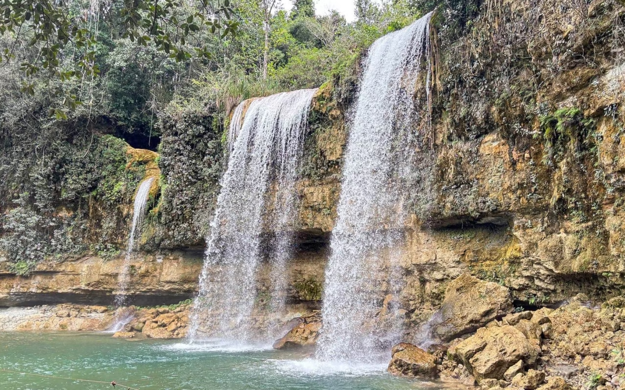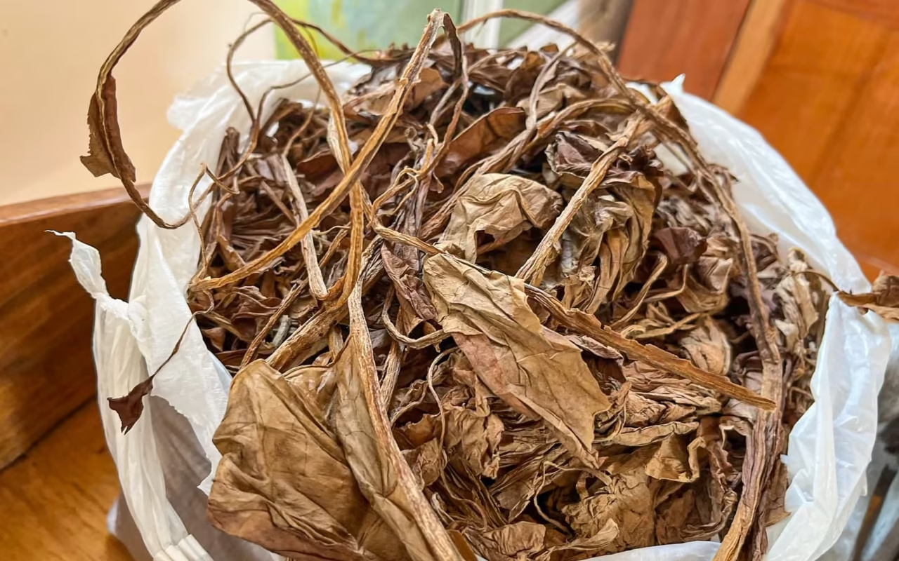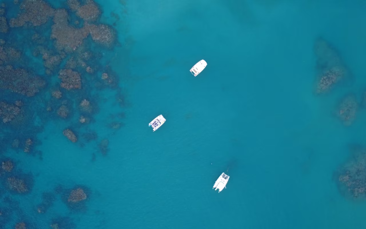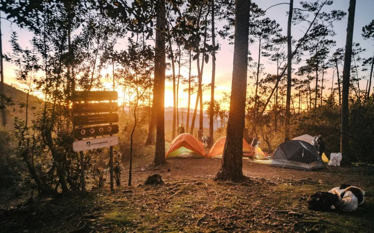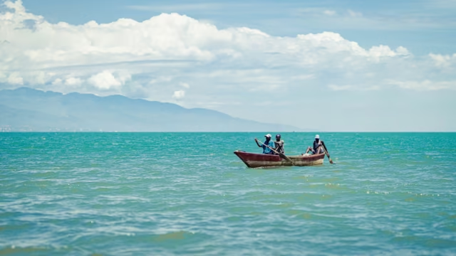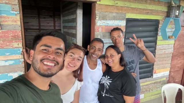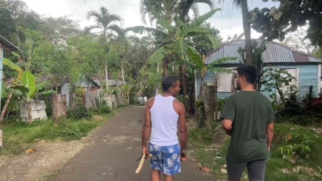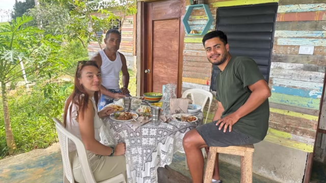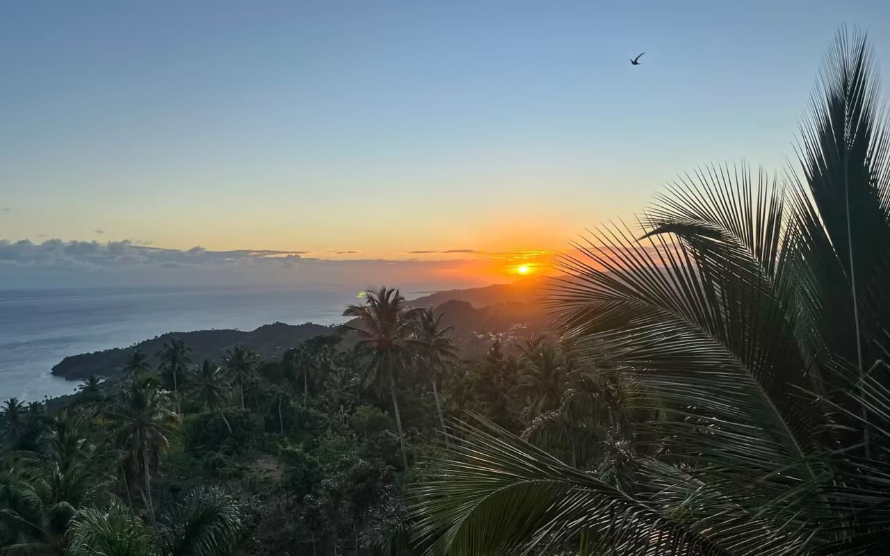
The southwestern region of the Dominican Republic encompasses the provinces of Barahona, Bahoruco, Independencia, and Pedernales, located about 200 km from Santo Domingo—a 3-hour drive. Its three national parks make up the Jaragua-Bahoruco-Enriquillo Biosphere Reserve, designated by UNESCO in 2002. Plan to spend at least 4 days there. This page shows the region’s location and provides links to details about each area.
The Southwest remains the least visited region in the country. It includes Barahona, Pedernales, Cabo Rojo, Bahía de las Águilas, Lake Enriquillo, and the Sierra de Bahoruco. There are no large hotel complexes here, few major highways, and distances are measured in hours rather than kilometers. This explains both its appeal and the difficulty of getting there.
Where is the southwestern part of the Dominican Republic, and how do you get there?
The region occupies the southwestern corner of the island, between the Caribbean Sea and the Haitian border. Barahona, its gateway, is located about 200 km from Santo Domingo via the road through Baní and Azua. The trip takes about 3 hours from the capital and 5 hours from the Punta Cana airport.
María Montez Airport (BRX) is located 3 km north of Barahona and is part of the network operated by Aerodom. There are no direct flights to Europe; travelers must fly into Santo Domingo and then continue by road. Beyond Barahona, the Enriquillo Highway runs along the coast to Pedernales. The dirt roads leading to the beaches and the larimar mine require a high-clearance vehicle.
What's there to see in the southwestern part of the Dominican Republic?
The region is divided into four areas, each of which is covered in detail on its own page.
The beaches of the southern coast
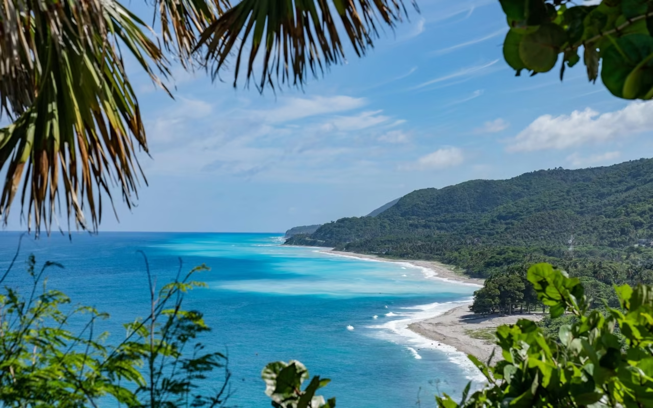
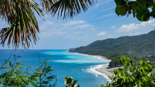
Bahía de las Águilas stretches 8.5 km within Jaragua National Park, established in 1983. Cabo Rojo, El Quemaito, and Los Patos round out the coastline. Access to the main beach is via a dirt road or by boat from La Cueva.
Details on beaches, access, and fees: Things to Do in Barahona, Pedernales, and Bahía de las Águilas
Lakes and Lagoons
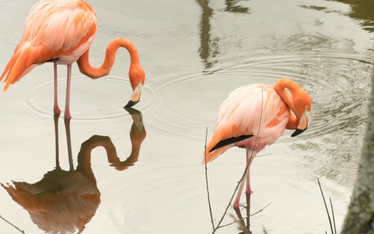
Lago Enriquillo is the largest lake in the Caribbean; it is hypersaline and lies approximately 46 m below sea level. It has been listed as a Ramsar Site since May 15, 2002. Laguna de Oviedo, in Jaragua Park, can be explored by boat to observe iguanas, flamingos, and waterbirds.
Details on boat tours: Lago Enriquillo and Laguna de Oviedo
The Mountains and the Birds
The Sierra de Bahoruco rises from the coastal dry forest to high-altitude pine forests. Its national park, also established in 1983, is home to a significant proportion of Hispaniola’s endemic species. It is the country’s richest area for birdwatching.
Species, seasons, and observation sites: Birdwatching in the Sierra de Bahoruco
Larimar
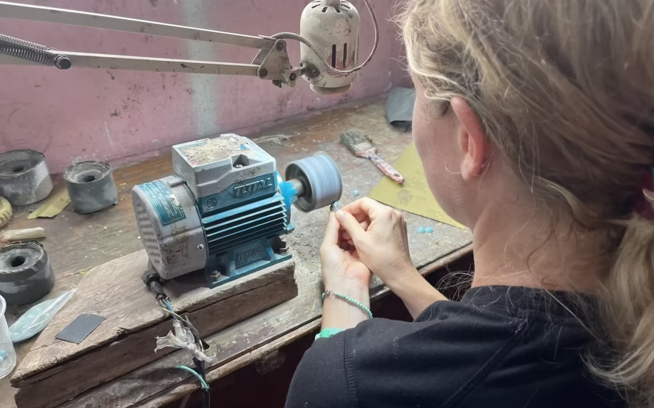
Larimar is a blue pectolite mined from the world’s only deposit, located at Los Chupaderos, 10 km southwest of Barahona. The mine has been in operation since 1974 and provides livelihoods for more than 700 miners.
Prices, grades, and mine tours: Larimar from Barahona
When should you go, and how long should you stay?
The Southwest is the driest region in the country. The dry forest and cacti lining the road to Pedernales are due to this low rainfall, not the elevation. The local high season coincides with the dry season.
| Period | Conditions | What Changes on Site |
|---|---|---|
| December through April | Dry season | Trails are passable; calm seas at Bahía de las Águilas |
| May through July | Short showers, especially in the mountains | The Sierra de Bahoruco is greener; good conditions for birdwatching |
| August through November | Peak of the Atlantic hurricane season | Boat trips may be canceled without notice |
The Atlantic hurricane season runs from June 1 to November 30, with peak activity in September. Over the course of the trip, four full days are enough to see the coastline and a lagoon. Any less than that, and you’ll spend half your stay in the car. Six days allow you to include the Sierra de Bahoruco, which requires two nights on-site to see it at sunrise.
Frequently Asked Questions About the Dominican Republic's Southwest
Where is the southwestern part of the Dominican Republic?
It occupies the southwestern corner of the country, between the Caribbean Sea and the Haitian border. It includes the provinces of Barahona, Bahoruco, Independencia, and Pedernales. Barahona, its main city, is located about 200 km from Santo Domingo, a 3-hour drive via Baní and Azua.
How do you get to Bahía de las Águilas?
The beach is located in Jaragua National Park, past Cabo Rojo. You reach the hamlet of La Cueva via an unpaved road, where the park ranger station is located. From there, access is on foot or by boat. A high-clearance vehicle is required for the unpaved road.
How many days should you plan for the Dominican Southwest?
Four full days allow you to explore the coastline from Barahona to Pedernales and visit a lagoon. Six days include the Sierra de Bahoruco, which requires two nights on-site. With fewer than four days, you’ll spend more time driving than sightseeing.
When is the best time to visit the Dominican Southwest?
From December through April, during the dry season: the trails are passable and the sea is calm. The Atlantic hurricane season runs from June 1 through November 30, peaking in September, when boat trips may be canceled without notice.
Is the Dominican Southwest safe?
The region is rural and not heavily touristed, with low crime rates. Areas of concern include driving at night, the condition of the roads, and rip currents at unguarded beaches. Detailed information by region is available in our safety guide.
Where is the southwestern part of the Dominican Republic?
It occupies the southwestern corner of the country, between the Caribbean Sea and the Haitian border. It includes the provinces of Barahona, Bahoruco, Independencia, and Pedernales. Barahona, its main city, is located about 200 km from Santo Domingo, a 3-hour drive via Baní and Azua.
How do you get to Bahía de las Águilas?
The beach is located in Jaragua National Park, past Cabo Rojo. You reach the hamlet of La Cueva via an unpaved road, where the park ranger station is located. From there, access is on foot or by boat. A high-clearance vehicle is required for the unpaved road.
How many days should you plan for the Dominican Southwest?
Four full days allow you to explore the coastline from Barahona to Pedernales and visit a lagoon. Six days include the Sierra de Bahoruco, which requires two nights on-site. With fewer than four days, you’ll spend more time driving than sightseeing.
When is the best time to visit the Dominican Southwest?
From December through April, during the dry season: the trails are passable and the sea is calm. The Atlantic hurricane season runs from June 1 through November 30, peaking in September, when boat trips may be canceled without notice.
Is the Dominican Southwest safe?
The region is rural and not heavily touristed, with low crime rates. Areas of concern include driving at night, the condition of the roads, and rip currents at unguarded beaches. Detailed information by region is available in our safety guide.
Updated: August 14, 2026
About the Author
Laura Grenouillet is the founder and travel consultant at Terra Dominicana. Based in the Dominican Republic, she has been exploring the southwestern regions—particularly Barahona and the Sierra de Bahoruco—for several years. Passionate about cultural experiences and connecting with locals, she guides travelers on a thoughtful and meaningful journey of discovery through the country.
Sources
- UNESCO, MAB Program, Jaragua-Bahoruco-Enriquillo Biosphere Reserve, designated in 2002, expanded to include La Selle in 2012
- Ministry of the Environment, Jaragua National Park
- Ramsar, Lake Enriquillo, Site No. 1179, designated on May 15, 2002
- Ministry of Energy and Mines, larimar
- Aerodom, María Montez Airport in Barahona
- NOAA, National Hurricane Center, Atlantic hurricane season from June 1 to November 30
- Field observations and local partners: Terra Dominicana, 2025 and 2026