Pico Duarte rises to 3,098 m, the highest point in the Antilles. The shortest route starts from La Ciénaga de Manabao, near Jarabacoa: 23 km to the summit, for a total of 46 km round trip and 1,977 m of elevation gain. Allow 3 days and 2 nights camping. A local guide, an entry permit, and pack mules are required.
Where is Pico Duarte located?
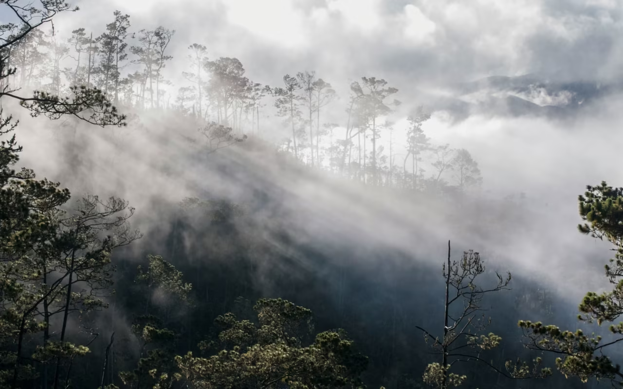
The summit rises in the heart of the Cordillera Central, on the border between two protected areas: Armando Bermúdez National Park to the north and José del Carmen Ramírez National Park to the south. The standard starting point is on the north slope, at La Ciénaga de Manabao in La Vega province, an hour’s drive from Jarabacoa. This is where the Ministry of the Environment’s office, the guides, and the muleteers are located.
The road from Jarabacoa is paved but narrow, very steep, and full of sharp turns. Make sure you have a vehicle in good condition and a driver experienced with mountain driving. Four trails lead to the summit, the shortest being the one from La Ciénaga, which is taken by the vast majority of groups.
| Stage | Distance from La Ciénaga | Elevation |
|---|---|---|
| La Ciénaga, trailhead | 0 km | 1,100 m |
| Los Tablones, first shelter | 4 km | approximately 1,300 m |
| La Compartición, campsite | 17.7 km | 2,438 m |
| Summit of Pico Duarte | 23 km | 3,098 m |
How much time should I set aside?
Three days and two nights is the most common itinerary, and the one that gives you time to acclimate. The trail is 23 km to the summit—about 46 km round-trip—with nearly 2,000 m of elevation gain. Some experienced groups complete the hike in two days, though this requires a nine-hour hike on the first day.
The hike passes through Armando Bermúdez National Park, whose official entrance is in La Ciénaga. The summit itself lies on the administrative boundary between the two parks, which explains why Dominican sources sometimes attribute it to one park and sometimes to the other. Creole pine forest covers most of the route, interspersed with a few pockets of rainforest near Los Tablones.
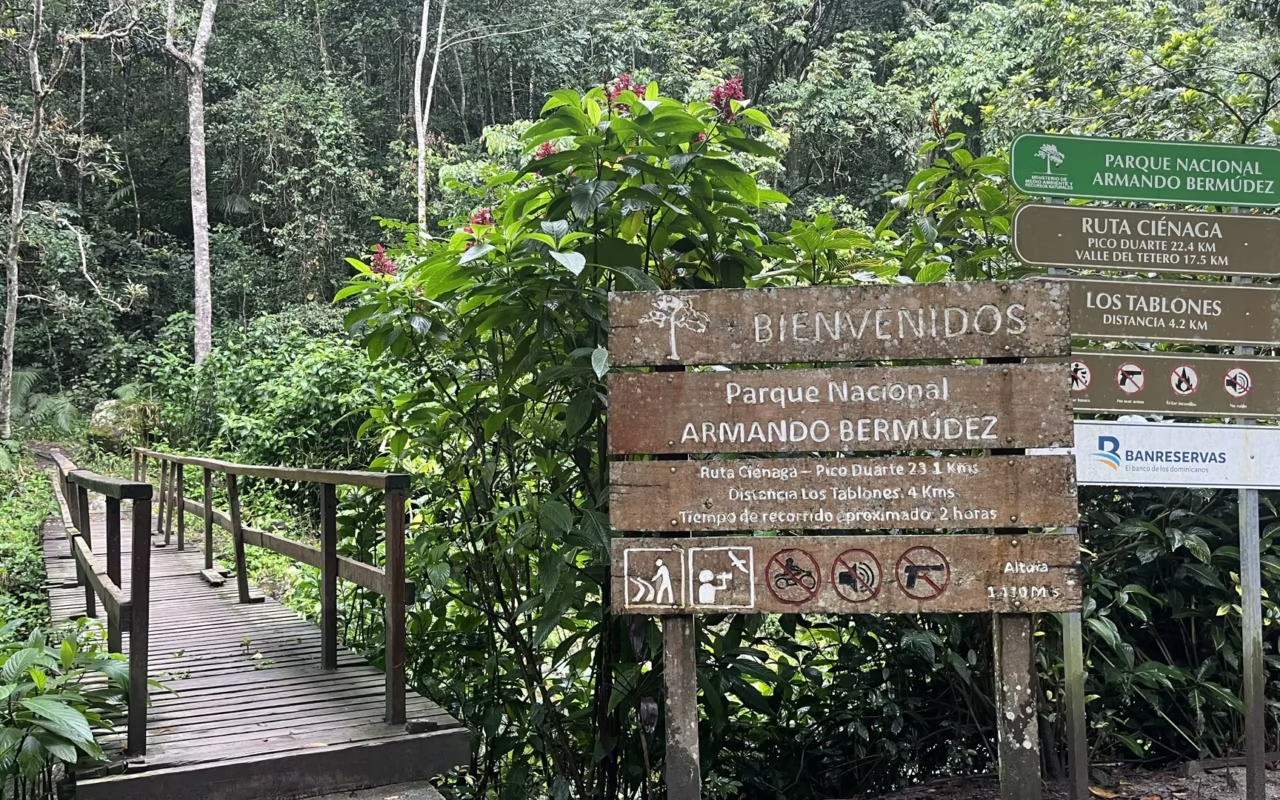
Day 1: From La Ciénaga to La Compartición
6 to 7 hours of hiking, 17.7 km. Depart in the morning from La Ciénaga, at 1,100 m. The first four kilometers to Los Tablones are almost flat, along the Yaque del Norte. The slope then becomes steep all at once on the climb to Alto de la Cotorra, and the trail alternates between ascents and gentle inclines all the way to Agüita Fría.
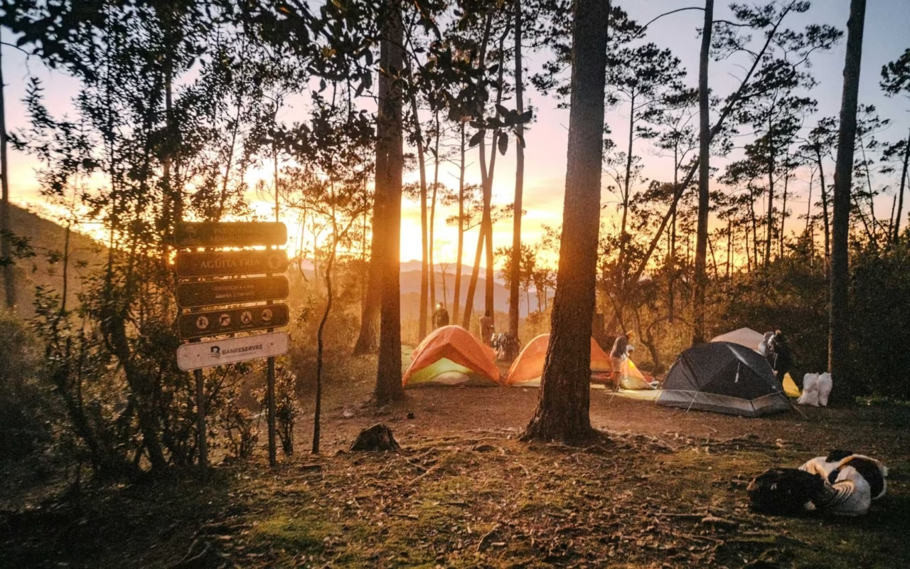
Arrival in the late afternoon at La Compartición, a campsite at 2,438 m. Hot meal, overnight in a tent or mountain hut, and an early night.
Day 2: The summit of Pico Duarte
5 km one way, about 5 hours round trip. Woke up around 4 a.m., headlamp on. The final ascent is short but steep, over rocky, cold terrain. The bust of Juan Pablo Duarte marks the highest point, at 3,098 m.
On a clear day, the view takes in the entire Central Cordillera and La Pelona, the twin peak, 4 m lower. Fog often rolls in around 9 a.m.: setting out early isn’t just a matter of style. Return to camp in the morning, rest, and spend a second night at La Compartición.
Day 3: Return to La Ciénaga
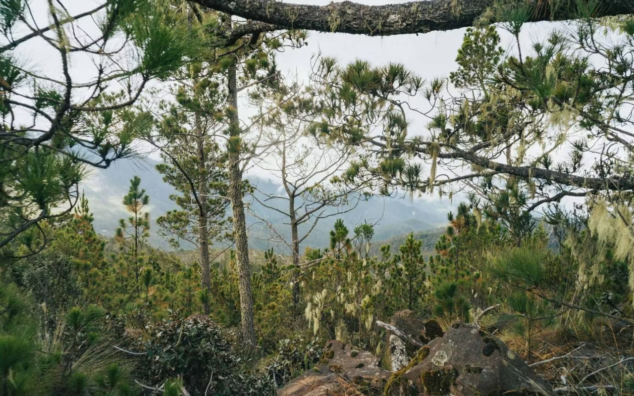
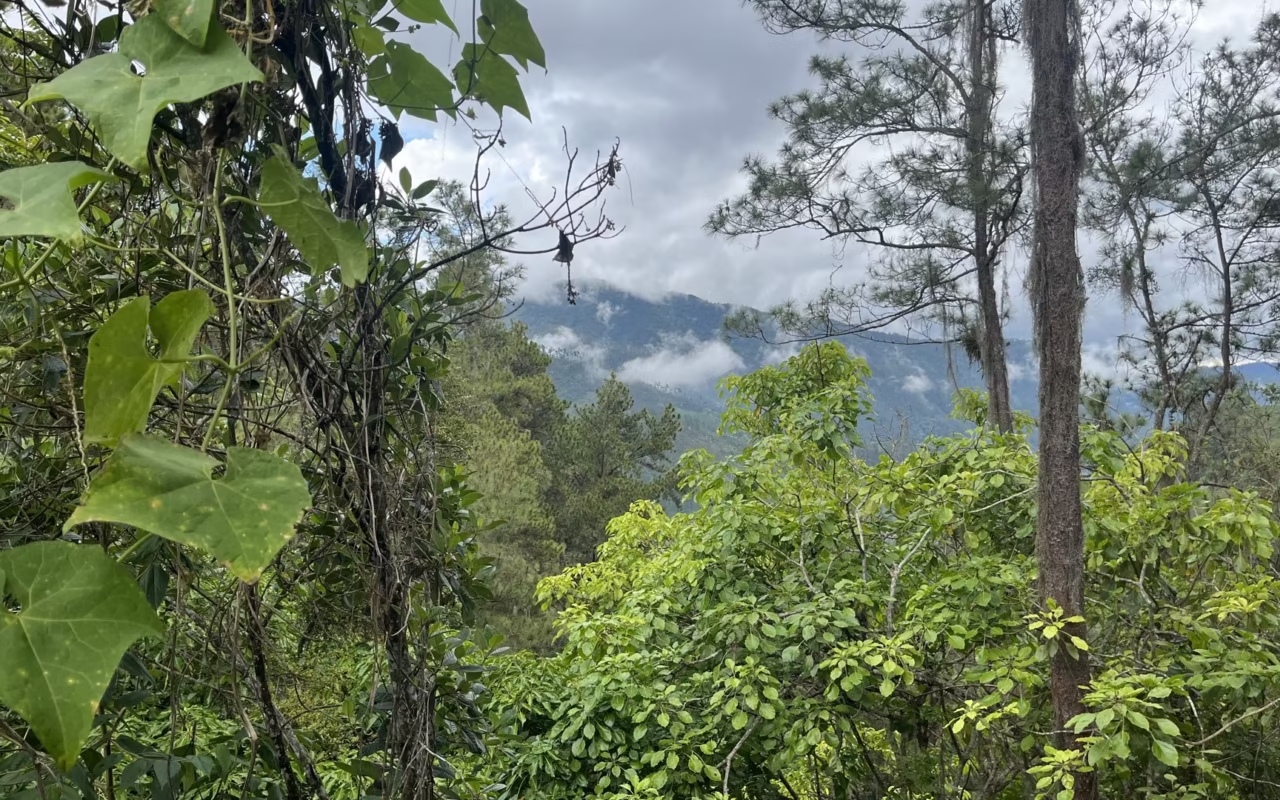
4 to 5 hours of hiking. The descent is at a more leisurely pace, covering the same 17.7 km in the opposite direction. Your knees will work harder than your thighs: hiking poles make a real difference on the stretch between Agüita Fría and Los Tablones.
Arrival in La Ciénaga in the late morning or early afternoon. Mules carry some of the gear over the three days; the pace is adjusted to the group’s needs, and we’ll provide a complete list of equipment before departure.
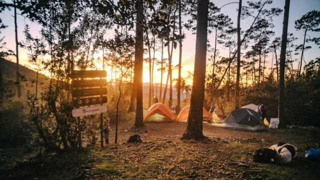
Admission to the park is paid at the La Ciénaga ranger station, and a local guide is required without exception, even for experienced hikers. The tourist office also considers pack mules to be mandatory. Official rates are posted at the checkpoint and are updated regularly: be sure to ask for them on site rather than relying on a price you found online.
When is the best time to climb Pico Duarte?
The safest time to visit is from November through April, when rainfall subsides on the north side. The downside is the cold: the Ministry of the Environment reports temperatures dropping below 0 °C in winter in Armando Bermúdez Park, with readings as low as minus five degrees between December and March. A suitable sleeping bag is a must.
The best time overall to travel in the country doesn’t exactly coincide with the best time for the mountains. The Atlantic hurricane season runs from June to November—specifically from June 1 to November 30, according to the Dominican Institute of Meteorology. Trails become slippery, and rivers can rise quickly.
| Period | High-Altitude Conditions | Our Advice |
|---|---|---|
| December through March | Clearer skies, nights below 0 °C | Better visibility at the summit; warm clothing is essential |
| April through June | Milder temperatures, showers in the late afternoon | Good compromise, dense vegetation |
| August through October | Peak of hurricane season, soggy trails | Best avoided |
Book three to six months in advance: the number of available guides in La Ciénaga is limited, and weekends during peak season fill up quickly.
Accommodations, Shelters, and Logistics
You’ll spend the nights at the La Compartición campsite, in a tent or a shelter, at 2,438 m. Amenities are basic: a wooden dormitory, a communal kitchen, and a campfire. As a precaution, water from springs marked “drinkable” along the trail should be filtered.
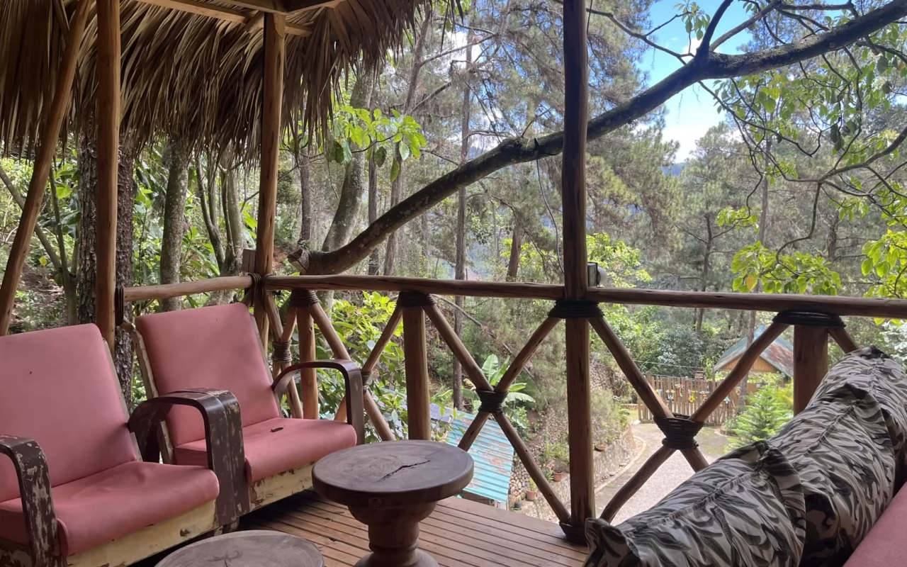
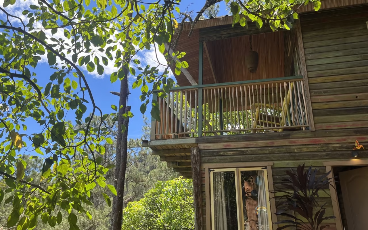
Our recommended itinerary: one night at an ecolodge near the trailhead to arrive well-rested, two nights at the camp during the ascent, then one night at the same ecolodge on the descent. That last night is more important than you might think after three days of hiking.
Coaching, Safety, and Physical Fitness
The climb must be done with a certified guide, who is hired at the La Ciénaga base camp. With Terra Dominicana, you’ll be accompanied by a certified mountain guide, and we’ll provide you with a list of required gear in advance: clothing, sleeping gear, food, and equipment.
Do you need to be very athletic? Good physical condition is necessary, but the hike isn’t technically challenging: no rock climbing, no exposed sections. What takes a toll is the duration and the cold. Anyone who can walk for six hours with a light backpack without struggling will be fine. The rest of the country addresses other questions, which are covered in our safety guide.
More Accessible Hikes in the Central Cordillera
The Dominican mountains are more than just their peaks. Here are three shorter options, either as a first taste or to round out an itinerary:
- the waterfalls of Jarabacoa, Jimenoa, and Baiguate, accessible on foot or on horseback in half a day;
- high-altitude hikes in Valle Nuevo National Park, above 2,200 m;
- the scenic trails and agricultural valleys around Constanza.
Other hikes are detailed in our guide to treks and hikes.
Manabao, the village at the foot of Pico Duarte
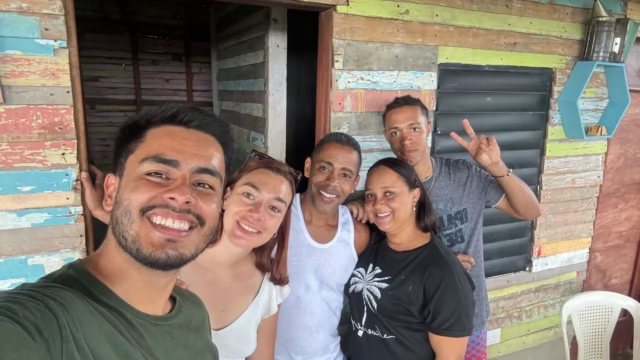
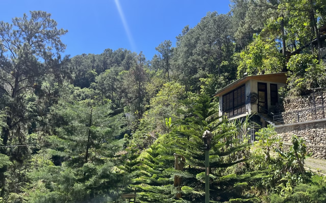
The area around Pico Duarte and Manabao was a wonderful surprise for Laura and Daniel. People often talk about the summit and the long hikes, but much less about the mountain villages that surround the area. Yet it was there that they had the most memorable encounters of their trip.
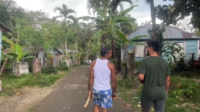
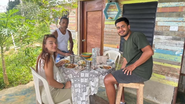
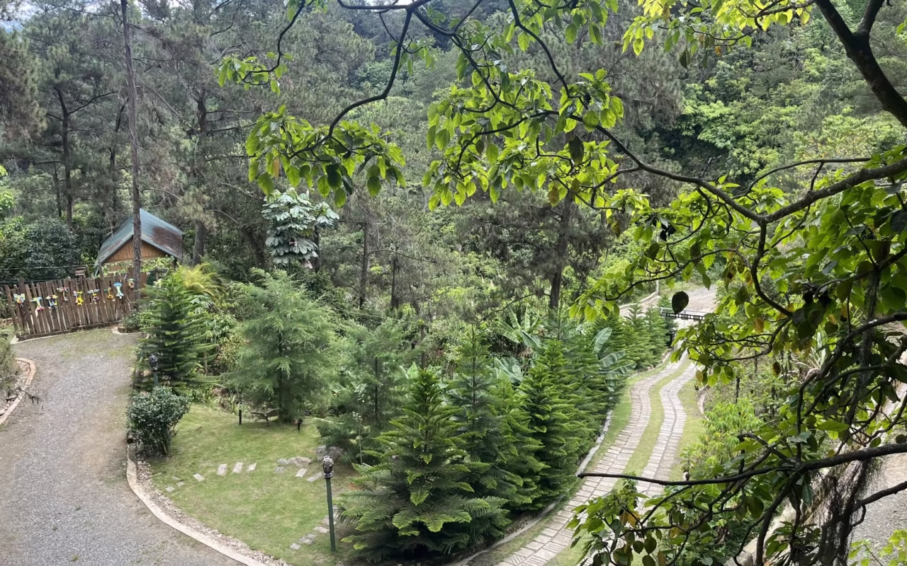
In Manabao, the atmosphere is very local, with chayote, eggplant, and mountain vegetables growing all around the village. It’s noticeably cooler there, and the views open up onto the valleys. We stopped at small, very simple mountain inns and restaurants, where you can really get a feel for Dominican mountain life.
The area also attracts hiking, trail running, and birdwatching enthusiasts: several guides told us about the surveys of endemic species conducted there, and we spotted many barrancolís. There are a few well-integrated ecolodges in the area. It’s a region that remains off the beaten path, perfect for travelers seeking a cooler, more active side of the Dominican Republic.
Laura, Terra Dominicana
Frequently Asked Questions About Climbing Pico Duarte
What is the elevation of Pico Duarte?
3,098 meters above sea level. This figure comes from a GPS survey published in 2003 by geographer Kenneth Orvis, with a margin of error of 4 m, and it is the one cited by the Ministry of the Environment and Dominican sources. Older topographic maps listed 3,087 m, a figure still displayed on several tourist websites.
How long does the climb take?
Three days and two nights for the standard route via La Ciénaga, covering 17.7 km on the first day, a round trip to the summit on the second, and the descent on the third. Trained groups can complete the hike in two days, with a nine-hour first stage. Beyond that, the routes via Constanza or Mata Grande take four to five days.
Do you need a guide to climb Pico Duarte?
Yes, hiking without a guide is prohibited in the park. You can hire a guide at the Ministry of the Environment office in La Ciénaga, along with your entry permit and pack mules. The trail is marked, but fog rolls in quickly at high altitudes, and rescue teams take several hours to reach the summit.
How do you get to Pico Duarte from Jarabacoa?
Take the Manabao road; it’s about an hour to La Ciénaga, preferably in a high-clearance vehicle. The road is paved but very steep, with sharp turns. From Santo Domingo, allow three and a half hours by car to Jarabacoa via the Duarte Highway, followed by the climb.
What are the highest mountains in the Dominican Republic?
The four highest peaks in the Antilles are all in the Cordillera Central. In order: Pico Duarte at 3,098 m, La Pelona at 3,094 m, La Rusilla at 3,038 m, and Pico Yaque at 2,760 m. La Pelona stands one and a half kilometers as the crow flies from the main summit.
Updated: August 16, 2026
About the Author
Laura Grenouillet is the founder and travel consultant at Terra Dominicana. After living in the Caribbean for over seven years, she understands both the challenges and the beauty of mountain adventures.
Climbing Pico Duarte isn’t for everyone, and that’s precisely what makes it so rewarding. Laura always commends travelers who take on this adventure. Travel is also about pushing your limits, stepping outside your comfort zone, and experiencing intense physical thrills. These are often the most memorable moments of a trip to the Dominican Republic.
Sources
- Ministerio de Medio Ambiente y Recursos Naturales, fiche du Parque Nacional Armando Bermúdez
- Visit Dominican Republic, excursion au Pico Duarte, distances et étapes
- Go Dominican Republic, itinéraires et obligation de guide
- Instituto Dominicano de Meteorología, dates de la saison cyclonique
- Enciclopedia Dominicana, relevé GPS de Kenneth Orvis, 2003
- Kenneth Orvis, The Highest Mountain in the Caribbean: Controversy and Conclusion via GPS, Caribbean Journal of Science, vol. 39, n° 3, 2003, p. 378 à 380
- Relevés terrain Terra Dominicana et rencontres avec les guides locaux, 2026