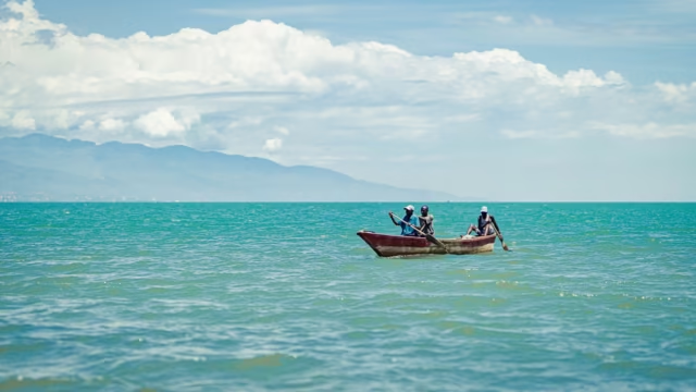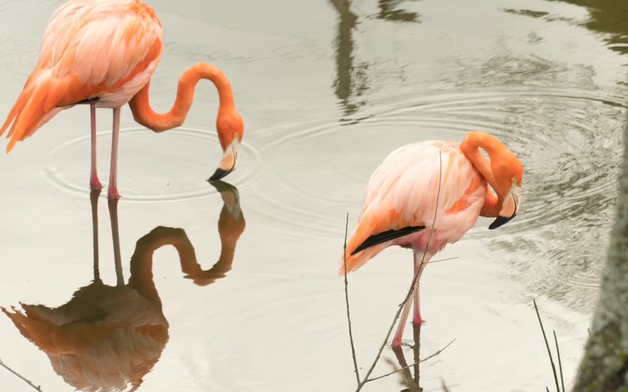
Lake Enriquillo is the largest lake in the Antilles and the lowest point in the Caribbean Basin, with its surface lying about 40 meters below sea level. A 1.5-hour drive away, Laguna de Oviedo covers 28 km² in Jaragua National Park, featuring 24 cayos and hypersaline water. American crocodiles on one side, flamingos on the other. Allow one day per site, departing before 8 a.m.
Where are Lago Enriquillo and Laguna de Oviedo located?
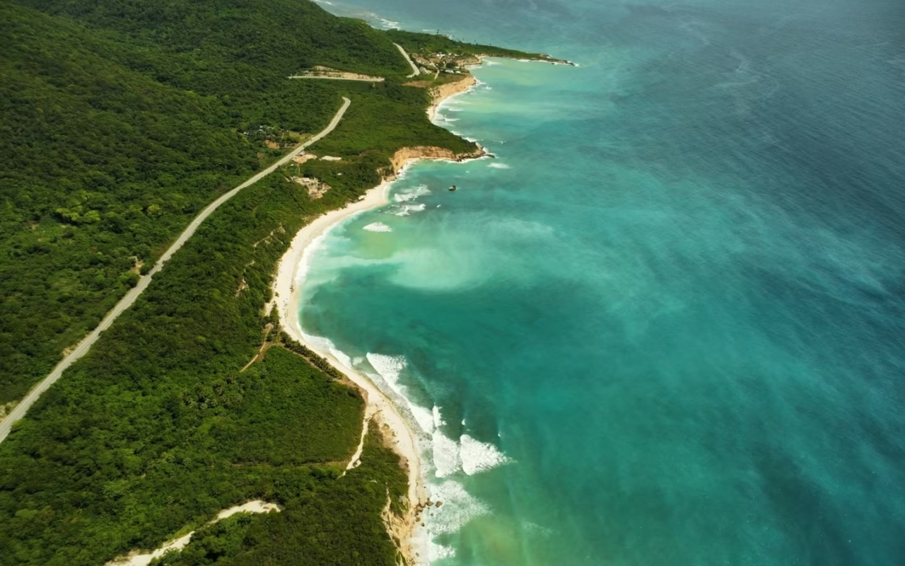
Both sites are located in the southwestern part of the Dominican Republic, on either side of the Sierra de Bahoruco. The salt lake stretches across the Enriquillo Depression, between Neiba and La Descubierta, in the province of Independencia. The lagoon, meanwhile, borders the villageof Oviedo on the southern coast of the province of Pedernales.
From Santo Domingo, it’s about 200 km and 3 hours and 30 minutes to Barahona via Highway 6 de Noviembre and then Route 44. Barahona serves as a logical base: the entrance to the lake park, at La Azufrada, is about 1 hour and 30 minutes away, and the village of Oviedo is about 1 hour and 15 minutes away via the coastal road. The road is paved all the way to both embarkation points, but it is narrow and winding along the coastal stretch.
The flight arrives at Las Américas (SDQ) in Santo Domingo. The María Montez Airport in Barahona exists but does not receive regular international flights, leaving the road as the only realistic means of access.
Boat trips depart early from both locations. On the lake, the wind generally picks up in the afternoon, making the crossing to the island uncomfortable or even causing it to be canceled. In the lagoon, the wildlife disperses as the temperature rises. A departure before 8 a.m. is essential for a successful visit, which in practice makes it impossible to visit both sites on the same day.
Laguna de Oviedo: What to See in Jaragua National Park?
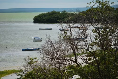
The lagoon occupies a karst depression flooded by the sea, a few hundred meters from the coast. It covers an area of approximately 28 km² and is 1.5 m deep, making it the country’s largest lagoon and the second-largest body of water after the lake. Its water is hypersaline, and its salinity varies with rainfall and evaporation.
It is part of Jaragua National Park, established in 1983, which covers 1,374 km² and remains the largest protected area in the Caribbean. Its wetlands have been listed under the Ramsar Convention since July 4, 2014, under the name Humedales de Jaragua, Site No. 2210, covering 32,979 ha. The designation encompasses three sub-sites: the lagoon, Bucán de Base, and the Cabo Rojo sector in Bahía de las Águilas.
What to Do There
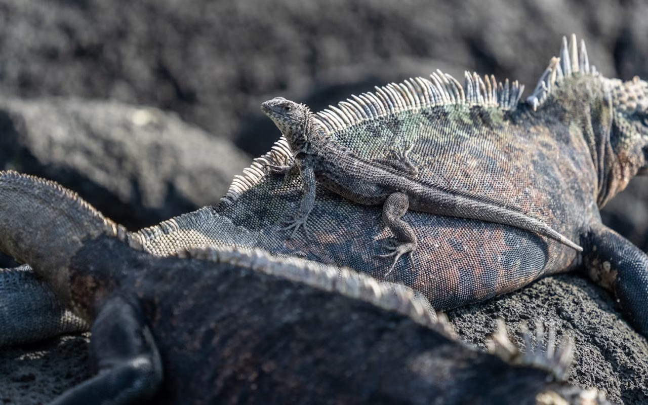
Visits are conducted by boat with a local guide, on a 1- to 3-hour tour. There are three routes: the Paseo de los Flamencos, Cayo de las Iguanas, and Las Caritas del Guanal, where petroglyphs are carved into the rock.
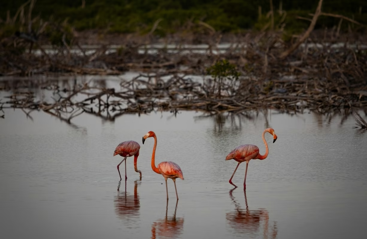
The lagoon’s 24 islets serve as a refuge for birds and rhinoceros iguanas. The park’s management plan lists 179 bird species throughout the protected area, of which about 70 frequent the lagoon—including both resident and migratory species: the Caribbean flamingo, roseate spoonbill, brown pelican, egrets, and herons. The lagoon is also home to the only known populations of the Oviedo titaco, a small endemic fish described under the name Cyprinodon nichollsi.
Lake Enriquillo: Why This Lake Lies Below Sea Level
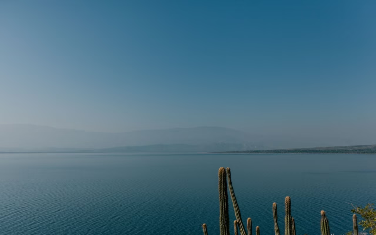
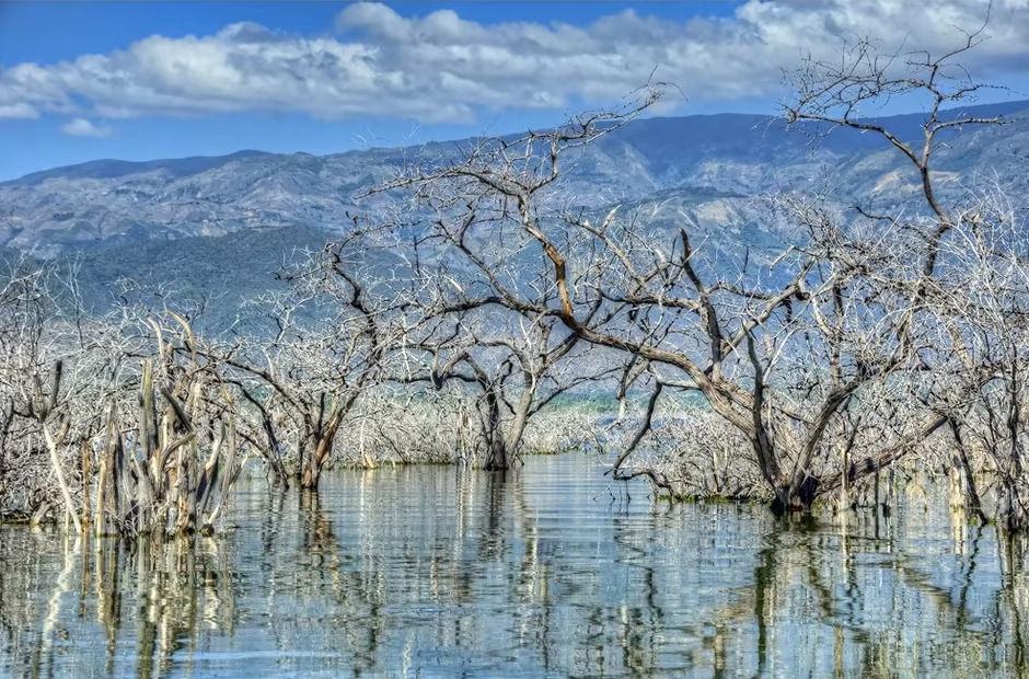
The lake lies at the bottom of a former sea inlet that was closed off by alluvial deposits, between the two mountain ranges of the Southwest. The Ministry of the Environment estimates its surface to be approximately 40 m below sea level. This figure is not fixed: measurements showed nearly 46 m in 1979, about 34 m in 1990, and then about 29 m in 2012, following a decade of rising water levels. Its area follows the same trend and hovers around 350 km².
This rise has left traces visible from the road: submerged trees, lost farmland, and the village of Boca de Cachón, which was rebuilt higher up. The islets of Barbarita and Islita disappeared toward the end of 2011. Isla Cabritos is now the lake’s only island, with the distinction of hosting the only hyperxerophilous dry forest located below sea level on the American continent.
The Lake’s Fauna
The lake is home to the largest population of American crocodiles in the Caribbean, specifically the species Crocodylus acutus. Two species of iguanas can be observed there: the rhinoceros iguana and Ricord’s iguana, the latter now found only in the southwestern part of Hispaniola and in Haiti. Flamingos and egrets frequent the shores.
Tours depart from La Azufrada, a few kilometers from La Descubierta, where the park office is located. The Borbollones area, where springs rise from the bottom, is where most crocodile sightings occur; disembarking there is prohibited. The lake has been listed on the Ramsar List since May 15, 2002, under number 1179.
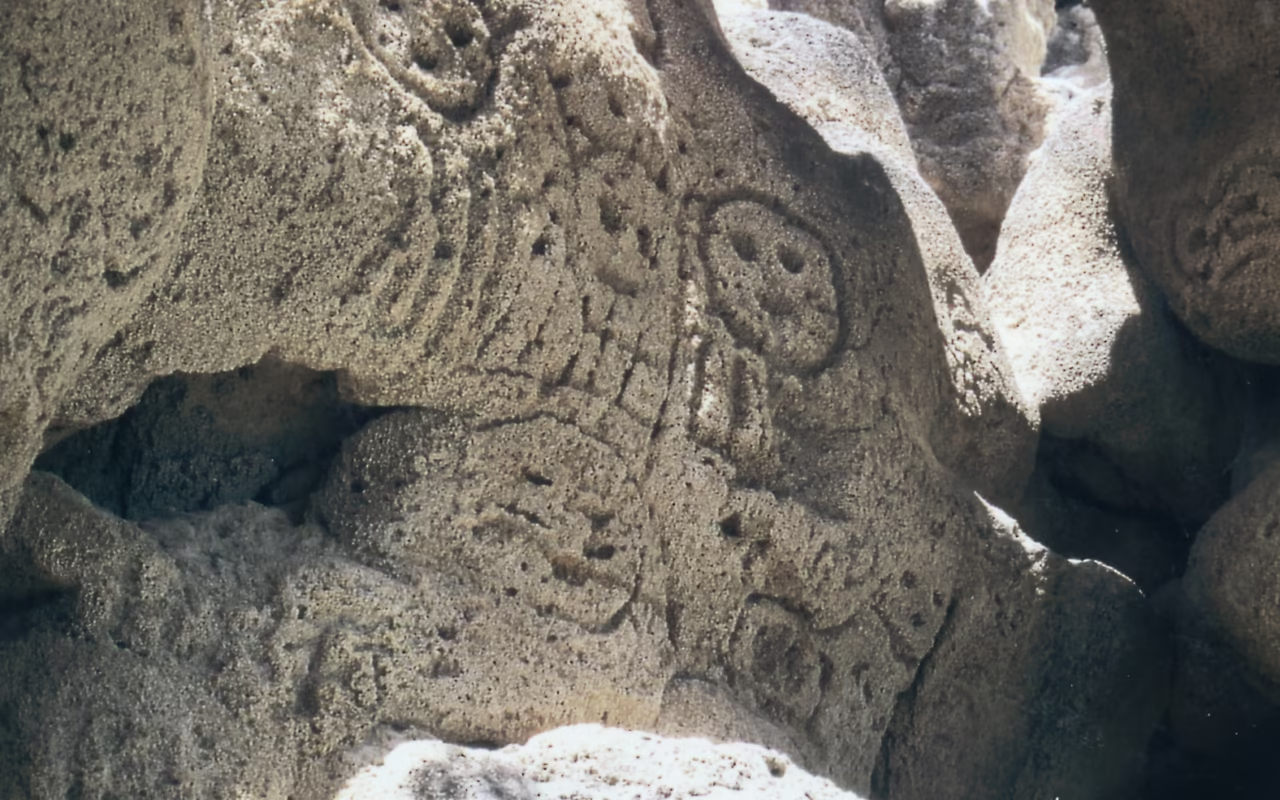
2 km from La Descubierta, on the road to Neiba, the Las Caritas site features faces carved into fossilized coral, attributed to pre-Taíno peoples. The lookout overlooks the lake and the island, and the stop takes twenty minutes. The village itself has a shaded freshwater pond, Las Barías, fed by a spring, which serves as a resting spot after a boat trip.
When should you go, and how long should you stay?
The Southwest is the driest region in the country. Jaragua Park receives between 380 and 800 mm of rain per year, with an average temperature ranging from 26 to 28 °C. The dry season, from December through April, offers the most stable conditions. The hurricane season runs from June 1 through November 30 and is most active from August through October.
| Feature | Enriquillo Salt Lake | Oviedo Lagoon |
|---|---|---|
| From Barahona | About 1 hour 30 minutes | About 1 hour 15 minutes |
| Starting point | La Azufrada, near La Descubierta | The village of Oviedo |
| Duration of the trip | 2 hours 30 minutes to 3 hours by boat | 1 to 3 hours by boat |
| Expected wildlife | American crocodile, iguanas, flamingos | Flamingos, spoonbills, iguanas, migratory birds |
| Best time | Departure before 8 a.m.; rough seas in the afternoon | Early morning |
| Status | National Park, Ramsar Site 1179 | Jaragua National Park, Ramsar Site 2210 |
Three nights in Barahona allow you to explore both bodies of water and set aside a day for the Bahía de las Águilas coast. If you’re staying two nights, you’ll have to choose between the lake and the lagoon. If you’re staying just one night, you’ll spend the day driving.
Both tours must be taken with a certified park guide, including the boat ride. This is not a preference of the agency: the nesting areas and the Borbollones sector are closed to independent boating and disembarking. Be sure to bring water, a hat, and closed-toe shoes, as there is no shade on either body of water.
« The Ministry of the Environment describes the Lake National Park as the habitat of the American crocodile and the driest region in the country. Both of these characteristics are immediately apparent within the first hour of sailing. »
FAQ
Can you visit Lake Enriquillo without a guide?
No. Access to Isla Cabritos and the Borbollones area requires a national park boat and a certified guide, departing from the La Azufrada office. The road that runs along the lake, however, can be traveled freely, as can the Las Caritas overlook and the Las Barías basin at La Descubierta. Without a boat, you’ll see the lake but not its wildlife.
How much time should you plan for in the southwest?
Three to four nights, using Barahona as a base. This itinerary allows for one day at Oviedo Lagoon, one at the lake, and one at Bahía de las Águilas or the Sierra de Bahoruco. If you stay fewer than three nights, you’ll miss out on one of the region’s three main attractions, since each trip takes between one and two hours.
Will we really see flamingos and crocodiles?
Caribbean flamingos are present year-round at Oviedo Lagoon, in groups of varying sizes depending on the water level. Crocodiles are best spotted on the lake, around the Borbollones, and preferably early in the morning when they’re warming up. No tour guarantees a sighting: these are wild animals in a protected area.
Is the tour suitable for children?
Yes, as long as the child can sit in a boat for two hours. The heat is the real limiting factor, with average temperatures of 26 to 28 °C and no shade on the water. An early morning departure, plenty of water, and sunscreen are usually sufficient.
Can you combine a visit to these lagoons with a trip to the beaches?
Yes. Bahía de las Águilas, Cabo Rojo, and the pebble beaches along the Barahona coast are all within a one- to two-hour radius. The Cabo Rojo and Bahía de las Águilas area is, in fact, part of the same Ramsar site as the Oviedo Lagoon, which explains the continuity of the landscapes between the two.
The salt lake and Oviedo Lagoon make up the nature-focused part of the Southwest—the section that requires a guide, an early morning departure, and a short drive. They can easily be combined with the beaches of Barahona and Bahía de las Águilas, as well as the forests of the Sierra de Bahoruco, and are part of the itinerary featured on our “Wild Southwest” page. To plan your trip, also check out our guide to wildlife viewing and our overview of Dominican national parks.
Updated: August 15, 2026
About the Author
Laura Grenouillet is a travel designer at Terra Dominicana. She has lived in the Caribbean for over seven years and regularly explores the southern regions of the island of Hispaniola, including Barahona, Bahía de las Águilas, Lake Enriquillo, and Laguna de Oviedo.
Passionate about preserved ecosystems and responsible tourism, she helps English-speaking travelers discover a committed and immersive Dominican Republic.
Sources
- Ministry of the Environment and Natural Resources, fact sheet on Lago Enriquillo and Isla Cabritos National Park, ambiente.gob.do
- Ramsar Convention, Jaragua Wetlands profile, Site No. 2210, designated on July 4, 2014, rsis.ramsar.org
- Ramsar Convention, Lago Enriquillo profile, Site No. 1179, designated on May 15, 2002, rsis.ramsar.org
- Jaragua National Park Management Plan, ornithological inventory and description of Laguna de Oviedo
- Field observations and surveys conducted by Terra Dominicana, 2025