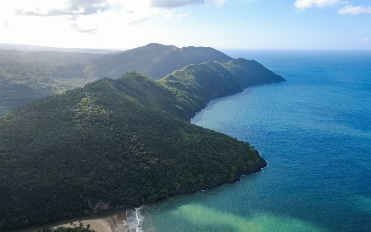
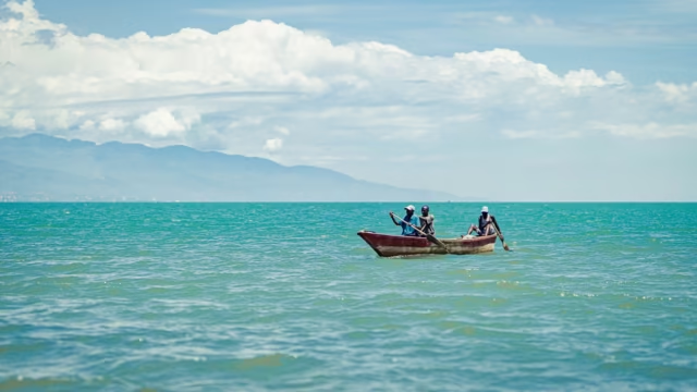
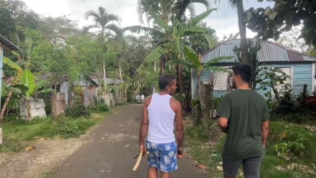
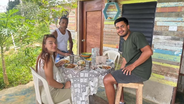
The Sierra de Bahoruco, also known as the Baoruco Range, forms the southwestern border of the Dominican Republic for about 70 km, reaching an elevation of 2,367 m at Loma del Toro. The national park, which has protected the range since 1983, is home to the island’s greatest diversity of flora and birdlife, with 27 endemic bird species according to the Ministry of the Environment. Plan on three days and a 4×4.
Where is the Bahoruco mountain range located?
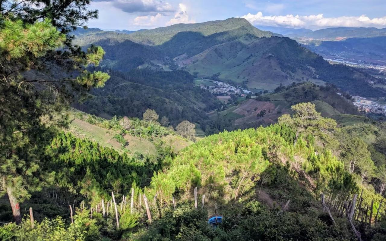
The Bahoruco Range occupies the far southwest of the country, spanning the provinces of Barahona, Bahoruco, Independencia, and Pedernales. It stretches approximately 70 km in a northwest–southeast direction and covers an area of about 2,400 km², according to Dominican geographical descriptions. On the Haitian side, the same mountain range continues under the name Massif de la Selle: the two slopes form a cross-border ecological corridor.
The elevation ranges from 100 m in the northeast to 2,367 m at Loma del Toro, the massif’s highest peak on the Dominican side. This range in elevation explains the succession of habitats encountered in a single day’s drive, from dry forest to cloud forest and then to pine forest. Local sources sometimes refer to the same peak as “Loma Alto del Toro.”
It can be reached via Barahona and the southern coast, or via Duvergé and Puerto Escondido to the north. Beyond the last villages, the international highway running along the border is passable only by all-terrain vehicles. The region pairs naturally with Barahona, Pedernales, and Bahía de las Águilas, as well as with Lago Enriquillo, which borders the mountain range to the north.
Here are some useful points of reference before you set out.
| Location | Elevation | Dominant environment | Access |
|---|---|---|---|
| Puerto Escondido | approximately 500 m | Dry forest and transition zone | Road from Duvergé |
| Zapotén | about 1,500 m | Cloud forest, tree ferns | International road, 4×4 |
| Loma del Toro | 2,367 m | High-altitude pine forest | International highway, 4×4 |
| Aceitillar | about 1,200 m | Pine forest on the south slope | Trail from Pedernales |
| Hoyo de Pelempito | Base at 348 m, lookout point above 1,100 m | Dry forest in a karst depression | 4×4 followed by a hike |
What is the Sierra de Bahoruco?
The Sierra de Bahoruco is one of the densest and least-visited mountain ranges in the Dominican Republic. Located in the southwestern part of the country, it forms a long mountain barrier that separates the arid plains of the south from the cooler high-altitude forests.
In contrast to the typical Caribbean beach destination, the region features rolling mountains, cloud forests, pine trees, rare orchids, and secluded valleys. The Taínos and, later, the runaway slaves took refuge here, precisely because the rugged terrain made pursuit impossible.
An Exceptional National Park
At the heart of the mountain range lies the Sierra de Bahoruco National Park, established in 1983 by Decree 1315-83. Its area is reported to be between 1,000 and 1,126 km² depending on the source, with the discrepancy resulting from successive redefinitions of its boundaries. Together with neighboring parks, it forms the Jaragua-Bahoruco-Enriquillo Biosphere Reserve, recognized by UNESCO in 2002.
The Dominican Ministry of the Environment describes it as the area with the greatest floral diversity on the island and lists 27 endemic bird species there. BirdLife International classifies the site as an Important Bird Area. The organization has recorded 32 of the 34 species with a restricted range within the Hispaniola endemism zone, as well as 1,410 plant species and 52% of the country’s orchids.
- Threatened mammals: the Hispaniolan solenodon and the hutía, two survivors of the pre-Columbian fauna
- Reptiles: the rhinoceros iguana and Ricord’s iguana
- Documented pressures: coal mining and agricultural land clearing on the lower slopes
To see where this park fits among the country’s other protected areas, check out our guide to the national parks of the Dominican Republic.
None of the high-altitude observation sites are accessible by passenger car. The international road leading to Zapotén and Loma del Toro requires a 4×4 and deteriorates after every rainstorm. Plan to leave Puerto Escondido before 5 a.m.: bird activity drops off significantly after 9 a.m.
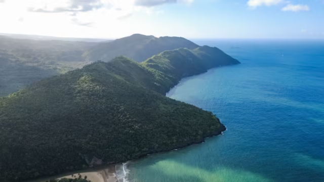
Landscapes and Atmospheres
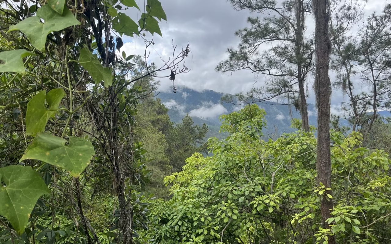
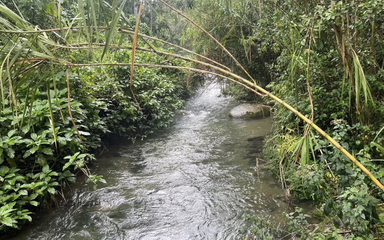
The diversity of the landscapes stems from the wide range of elevations: high-altitude pine forests, areas of rainforest, clear rivers, and open vistas overlooking Lake Enriquillo, Cabral Lagoon, and the southern plains.
The higher elevation brings a coolness not found at lower altitudes. The coast of Barahona stays between 28 and 34 degrees for much of the year, while nights in Zapotén drop below 15 degrees. Be sure to pack a fleece, even in summer.
Hoyo de Pelempito, the wild heart of the Sierra de Bahoruco
Hoyo de Pelempito is a closed karst depression, or polje, covering approximately 8 km². Its floor lies at an elevation of 348 meters, according to the National Geological Service’s hydrogeological survey, while the visitor observation deck overlooks it from a height of over 1,100 meters. This elevation difference creates a thermal inversion: cold air stagnates at the bottom, sustaining a dry forest there that one would expect to find much lower down.
The area is home to the solenodon, Ricord’s iguana, the rhinoceros iguana, and a rich variety of birdlife. Orchids are abundant here. The final few kilometers require a 4×4 vehicle, followed by a walk to the site.
What endemic birds can be seen in the Sierra de Bahoruco?
Hispaniola is home to 34 bird species with restricted ranges. BirdLife International has recorded 32 of these in the Sierra de Bahoruco alone, making it the island’s most comprehensive birdwatching site. Only three are missing: the Ridgway’s hawk, the eastern singing tanager, and the gray-headed palm tanager.
Priority species to look for
- The Hispaniolan Trogon (Priotelus roseigaster), the national bird, which is easier to hear than to see in the cloud forest
- The narrow-billed todier and the broad-billed todier, two species of a genus found only in the Greater Antilles
- The White-winged Warbler (Xenoligea montana), a threatened species confined to high-altitude rainforests
- The Hispaniolan Crossbill, found exclusively in the pine forests of Loma del Toro and Aceitillar
- Ridgway’s Tacco (Coccyzus rufigularis), one of the rarest birds in the Caribbean, observed on the northern slope
- The La Selle Thrush, the La Selle Singing Tanager, and the Antillean Siskin, all associated with the higher elevations of the mountain range
Where to find them
The northern slope, around Zapotén, hosts the greatest number of species within the shortest distance: the cloud forest begins there at around 1,200 m and is recognizable by its tree ferns. The pine forests of Loma del Toro andAceitillar are home to high-altitude species. The dry forest of Puerto Escondido and Hoyo de Pelempito rounds out the list with species not found at higher elevations.
The wildlife viewing season varies by species group: our guide to when to see wildlife in the Dominican Republic details the country’s other nature-watching opportunities.
The Sierra de Bahoruco: Who Is It For?
The Sierra de Bahoruco will appeal to all lovers of:
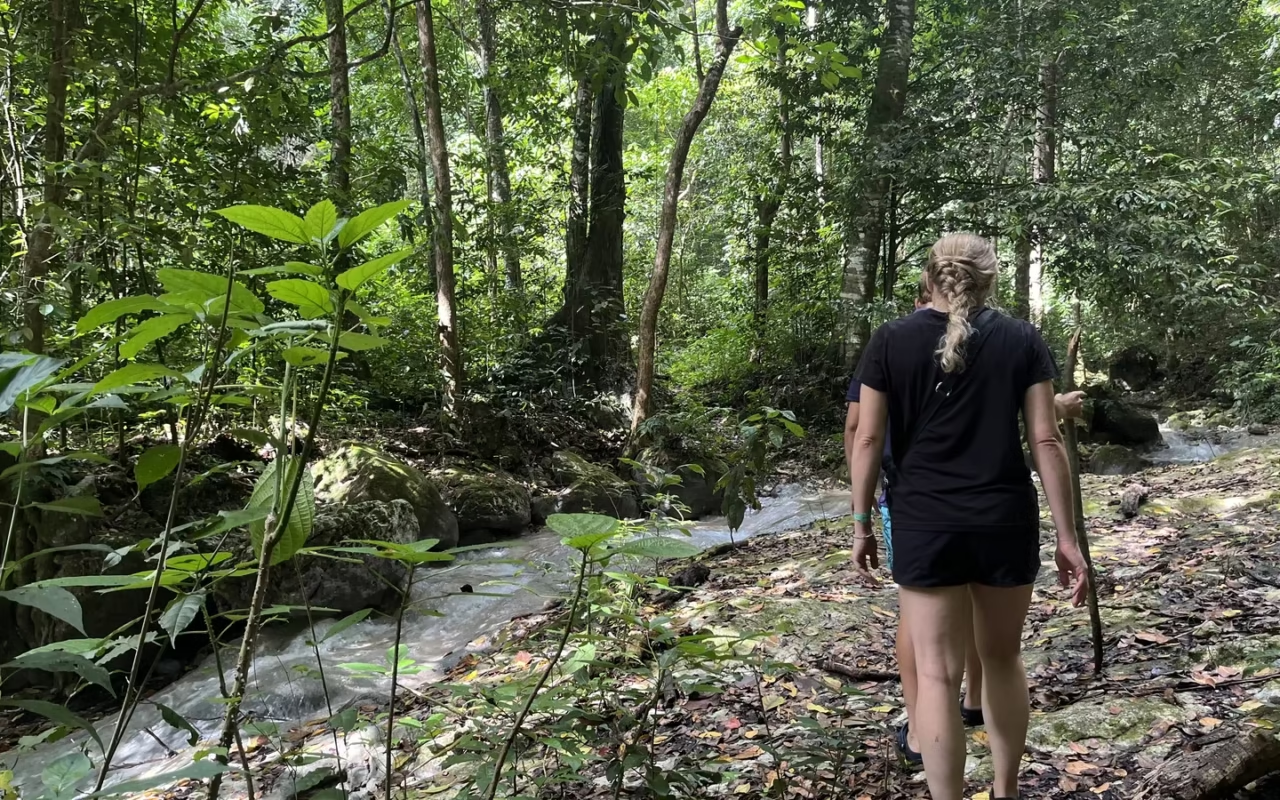
- guided hikes through mountainous landscapes,
- birdwatching enthusiasts (a paradise for photographers)
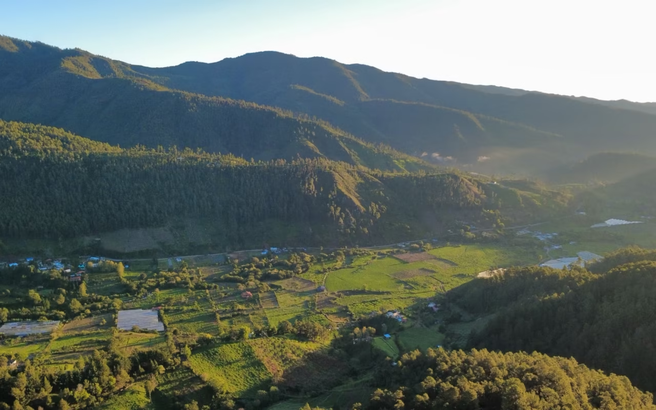
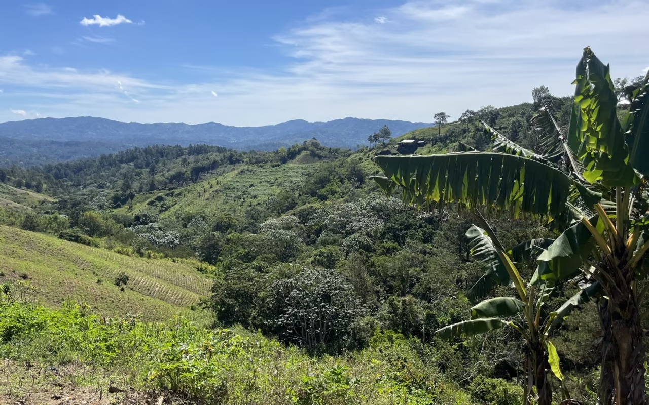
- visits to mountain farming areas (coffee, flowers, food crops)
Some experiences span several days, combining hiking, exploring ecosystems, and meeting locals, all with a gentle and respectful approach.
When is the best time to visit the Sierra de Bahoruco?
The Sierra de Bahoruco can be visited year-round, but road conditions and bird activity vary from month to month. From December through March, the dry season makes the trails most passable and the nights cooler at higher elevations. From March through May, the birds sing more frequently, making it easier to spot them by their calls.
The Atlantic hurricane season runs from June 1 to November 30. It doesn’t prevent travel, but heavy rains can quickly damage the international highway and may close access to Zapotén for several days. September and October are the months most at risk.
| Period | Conditions | For observation | Reserve |
|---|---|---|---|
| December through March | Dry season, passable trails, cool nights at high elevations | Best time overall | Bring a fleece above 1,500 m |
| March through May | First rains, dense vegetation | Breeding season; easier to locate birds by sound | Early morning departures are essential |
| June through August | Significant heat in the lowlands, temperate at higher elevations | Fair, with activity spread out over a wider period | Start of the hurricane season |
| September through November | Months most prone to low-pressure systems | Unpredictable | International roads may be closed at times |
To plan your entire itinerary, check out our guide on when to visit the Dominican Republic.
Our complete 3-day, 2-night adventure in the Sierra de Bahoruco
Day 1 – Cloud Forest and First Sightings
Welcome to the heart of the Sierra de Bahoruco’s humid cloud forest. The trails wind through a dense, cool environment, ideal for birdwatching. You’ll have the chance to spot endemic species such as the Hispaniolan trogon, the narrow-billed tody, the spindalis, and the island parrot. The day alternates between hiking, observation breaks, and shared local meals in the great outdoors, followed by a night in a local lodge-style accommodation.
Day 2 – High-altitude pine forests and rare wildlife
A change of scenery with high-altitude landscapes : pine forests, plateaus, and secluded valleys. This area is particularly rich in birdlife, with up to 20 species observable throughout the day, including the La Selle thrush, the white-winged cigüita, the Bahoruco chirri, and the Antillean siskin. At the end of the day, a nighttime excursion sometimes offers a chance to spot other species, such as the chotacabras. A peaceful night in a mountain hut nestled in the heart of the mountains.
Day 3 – Northern Slopes and Final Panoramic Views
The final day explores the northern slopes of the Sierra, along more open trails offering superb views. Last birdings before wrapping up this wonderful adventure!
How long should I stay, and what should I do while I'm there?
Three days and two nights on site is the ideal length of stay. Any shorter, and you’ll miss one of the two vegetation zones: either the cloud forest on the north slope or the high-altitude pine forests, each home to species not found in the other. A one-day trip from Barahona allows only a low-altitude excursion, missing the high-altitude endemic species.
The mountain range fits naturally into a loop through the wild Southwest. Allow half a day’s drive to reach Bahía de las Águilas from Pedernales, and about two hours between Barahona and Lago Enriquillo via the road north of the mountain range. Hiking enthusiasts will find other routes in our guide to hiking in the Dominican Republic.
Sierra de Bahoruco & Larimar
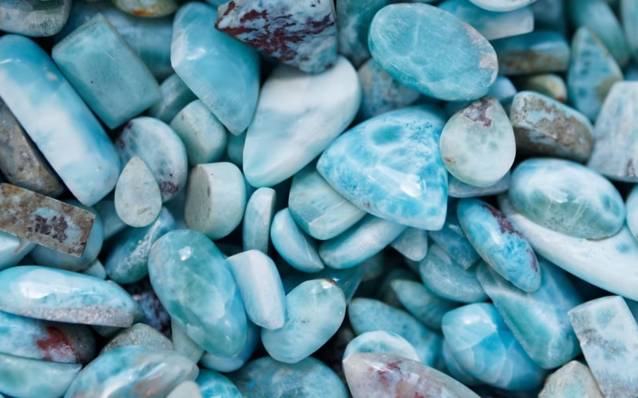
The Sierra de Bahoruco is also home to the larimar mines, a semi-precious stone found nowhere else in the world and mined exclusively in the Dominican Republic.
Check out our dedicated article: Larimar: Barahona’s Rare Stone and the Experience to Be Had There.
Safety and Things to Know Before You Go
The risk in the Sierra de Bahoruco isn’t crime—it’s logistical. The mountain range is sparsely populated, cell phone coverage is limited beyond Puerto Escondido, and it takes emergency responders several hours to reach the area. Two rules cover the essentials: never set out on the international trail alone, and leave your itinerary with someone who stays behind.
The park borders Haiti along part of its route. Military checkpoints are common there, and you’ll need identification to pass through each one. A local guide can handle this and knows the actual condition of the trails on any given day.
As for the rest of the country, our guide “Is it dangerous to travel in the Dominican Republic?” outlines the precautions by region.
The national park prohibits feeding wildlife and playing recorded bird calls to attract birds, a practice that disrupts the reproduction of endangered species. Stay on the existing trails: the karst soil in the cloud forest areas compacts quickly, and it takes years for the forest to regenerate there.
FAQ – Sierra de Bahoruco
Where is the Bahoruco mountain range located?
In the extreme southwest of the Dominican Republic, spanning the provinces of Barahona, Bahoruco, Independencia, and Pedernales. It stretches for approximately 70 km and reaches a height of 2,367 m at Loma del Toro. On the Haitian side, the mountain range continues under the name Massif de la Selle.
Is a guide required?
Yes, in practice. The trails are poorly marked, the region is remote, and the international road requires a 4×4, the drivability of which changes after every rain. A local guide also knows where the species are on the day of your visit—information no map can provide.
How many bird species can be observed?
The Dominican Ministry of the Environment lists 27 endemic species in the park. BirdLife International records 32 of the 34 species with a restricted range on Hispaniola there. Over three days spent in both the cloud forest and pine forests, a total of about 30 species is a realistic expectation.
Is this trip suitable for all travelers?
Yes, provided you enjoy nature and hiking. The itineraries are tailored to the group’s fitness level. Days begin before sunrise, and accommodations in the mountains are basic, which requires a certain tolerance for simple living conditions.
When is the best time to visit the Sierra de Bahoruco?
From December to March for the most accessible trails and cool nights at high altitudes. From March to May for the breeding season, which is best for spotting birds. The Atlantic hurricane season, from June 1 to November 30, is most active in September and October.
Can you combine this trip with other regions?
Yes. The Sierra de Bahoruco is part of a southwestern itinerary that includes Barahona, Pedernales, Bahía de las Águilas, and Lago Enriquillo. Allow three days in the mountain range itself, followed by a half-day drive to reach the coast at Pedernales.
Conclusion
Exploring the Sierra de Bahoruco means discovering a wild, mountainous, and deeply unspoiled Dominican Republic. At Terra Dominicana, we design custom experiences to reveal this exceptional region, far off the beaten path.
Updated: August 14, 2026
About the Author
Laura Grenouillet is the founder and travel consultant at Terra Dominicana.
Having lived in the Caribbean for over seven years, she explores the Dominican Republic at her own pace, immersing herself in the local culture and meeting new people along the way. Passionate about the unspoiled regions of the southwest, she particularly loves the Sierra de Bahoruco, where she enjoys hiking and even camping with the locals.
Sources
- Ministry of Environment and Natural Resources, fact sheet on Sierra de Bahoruco National Park
- BirdLife International, Forests of Hope: Sierra de Bahoruco
- National Geological Service, hydrogeological study of the Sierra de Bahoruco, 2015
- Grupo Jaragua, SPAW proposal dossier for Sierra de Bahoruco National Park
- Dominican Encyclopedia, Sierra de Bahoruco
- Field observations by Terra Dominicana